National Institute of Informatics - Digital Silk Road Project
| |||||||||
|
| Scientific Results of a Journey in Central Asia, 1899-1902 : vol.3 |
 |
that in five days, supposing one marched 3o km. every day, one might reach Dimenalik, a point on the mountain-road between Tschertschen and Temirlik. Three days are required to reach a pretty easy pass, on the other, that is the western, side of which begin the sources of the brook which runs down to Vasch-schahri. On the south of this route rises a mountain-range called Karava-tschalik, or the Black Craggy Mountains. Another pass along this same route is said to divide the waters of the Vasch-schahri from those of the Tschertschen-darja.
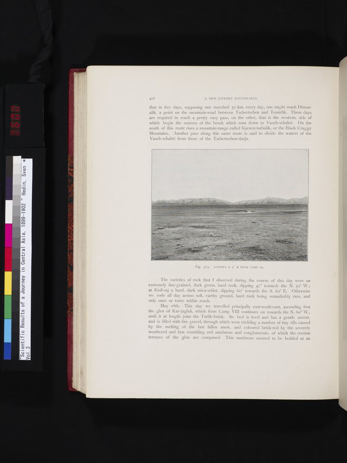
Fig. 323. LOOKING S 2° E FROM CAMP IX.
The varieties of rock that I observed during the course of this day were an extremely fine-grained, dark green, hard rock, dipping 47° towards the N. 50° W.; at Kisil-saj a hard, dark mica-schist, dipping 6o° towards the S. 6o° E. Otherwise we rode all day across soft, earthy ground, hard rock being remarkably rare, and only once or twice within reach.
May 28th. This day we travelled principally east-south-east, ascending first the glen of Kar jaghdi, which from Camp VIII continues on towards the N. 6o° W., until it at length joins the Tatlik-bulak. Its bed is level and has a gentle ascent, and is filled with fine gravel, through which were trickling a number of tiny rills caused by the melting of the last fallen snow, and coloured brick-red by the severely weathered and fast crumbling red sandstone and conglomerate, of which the erosion terraces of the glen are composed. This sandstone seemed to be bedded at an
|
Copyright (C) 2003-2019 National Institute of Informatics and The Toyo Bunko. All Rights Reserved.