National Institute of Informatics - Digital Silk Road Project
| |||||||||
|
| Scientific Results of a Journey in Central Asia, 1899-1902 : vol.3 |
 |
FROM THE ARKA-TAGH TO THE GOLD-MINES OF TOGHRI-SAJ.
179
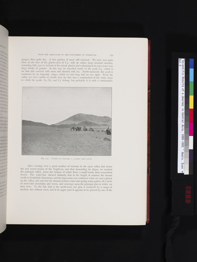
gorges, then quite dry. A few patches of snow still survived. We were now quite close to the face of the glacier-arm of C3, with its rather large terminal moraine, extending fully 30o m. in front of the actual glacier and embracing in its mass some very large blocks of granite. In this way we travelled north of the peak C3, which is on that side covered with snow and sheeted with ice. North-eastwards this peak is continued by an imposing range, which we had long had on our right. From the valley we were unable to decide how far this was a continuation of the main range to which the peaks A3, B3, and C3 belong, but probably it is such a continuation.
Fig. 140. LOOKING UP TOWARDS C 3 FROM CAMP LXVIII.
After crossing over a great number of torrents in the open valley that forms the real source-region of the Toghri-su, and then descending its slopes, we reached the principal valley, down the bottom of which flows a small brook, then everywhere frozen. The water-line showed distinctly that in the height of summer the stream swells to formidable dimensions, and the impression was confirmed when we cast a glance up the valley, and saw how the streams of thaw-water and spring-water gather off a circle of snow-clad mountains and crests, and converge upon the principal glen in which we then were. To the left, that is the north-west, our glen is bordered by a range of medium size without snow, and in its upper part it appears to be pierced by one of the
|
Copyright (C) 2003-2019 National Institute of Informatics and The Toyo Bunko. All Rights Reserved.