National Institute of Informatics - Digital Silk Road Project
| |||||||||
|
| Scientific Results of a Journey in Central Asia, 1899-1902 : vol.3 |
 |
38
MY FIRST JOURNEY IN NORTH-EASTERN TIBET.
of the stream. We also noticed marmots, partridges, and eagles. Nature was beginning to assume an Alpine aspect; the atmosphere was pure, fresh, and bright.
All day our march lay through a granite region, the rock being of various varieties, and perpetually alternating with a fine, crystalline rock, black and extremely hard, like diabase, which every now and again turned not only a lighter colour, but also coarser of grain. The granite is generally light red or grey, and coarse-grained. All the gravel-and-shingle in the glens is composed of these two rocks. The black
projecting bluff south of the two small passes is built up of the dark, fine-grained rock, which dips chiefly 54° towards the N. 60° E., though sometimes also in other directions. In some places it forms gigantic slabs, piled concentrically one upon another. All the slopes between Dung-saj and the last pass are clothed with fine, yellow, soft, grass-grown earth. At the last pass we found green granite, dipping 76° towards the N. 55° E. At Kar-jakkak-saj the dark, finely crystalline rock is exposed on both sides of the glen, more especially on the left side; at first it dips 85° towards the S. Io° W., and at our camp 54° towards the N. 3o° E.
The black cliffs, sharp-cut and bare, usually form a striking contrast to the soft, rounded heights below them; below these again comes an underlay of graveland-shingle and disintegration products. These crop out in the bottom of the watercourse, though there also, as well as in its sides, the hard rock comes to the surface. The annexed profile (fig. 41) shows hard rock covered by a layer of soft earth.
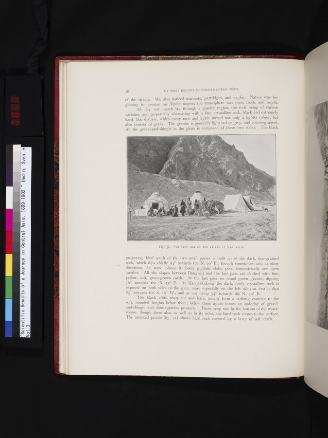
Fig. 38. THE LEFT SIDE OF THE VALLEY AT MANDARLIK.
|
Copyright (C) 2003-2019 National Institute of Informatics and The Toyo Bunko. All Rights Reserved.