National Institute of Informatics - Digital Silk Road Project
| |||||||||
|
| Scientific Results of a Journey in Central Asia, 1899-1902 : vol.3 |
 |
404
A NEW JOURNEY SOUTHWARDS.
of Jol-saj, which really is the main glen, and is said to come from the mountainous regions in which the Tscharklik-su also has its sources. We saw no signs of wild animals except the track of a bear. Strange to say, neither the glen nor its pass possesses a name. The acclivity leading up to the latter is rather steep, though not particularly difficult, for the surface consists of soft earth with a sprinkling of grass. The first pass is of a secondary character; the second, the pass proper, has an absolute altitude of 3493 m.
A small and quite short glen leads down to a broad open thalweg, which eventually terminates in the similarly broad, open glen of Unkurluk, and this slopes gently down towards the north-west until it joins the Tscharklik-su a little below Haschäklik. At the bottom of the thalweg is a shallow, gravelly bed, without any water. When we were on the pass it began to snow, at first in fine round pellets, but soon in thick, heavy flakes, making white the whole country south of the pass. During the evening vast quantities of snow fell; but on the following day most of the snow disappeared off the level ground, and only remained on the slopes of the mountains.
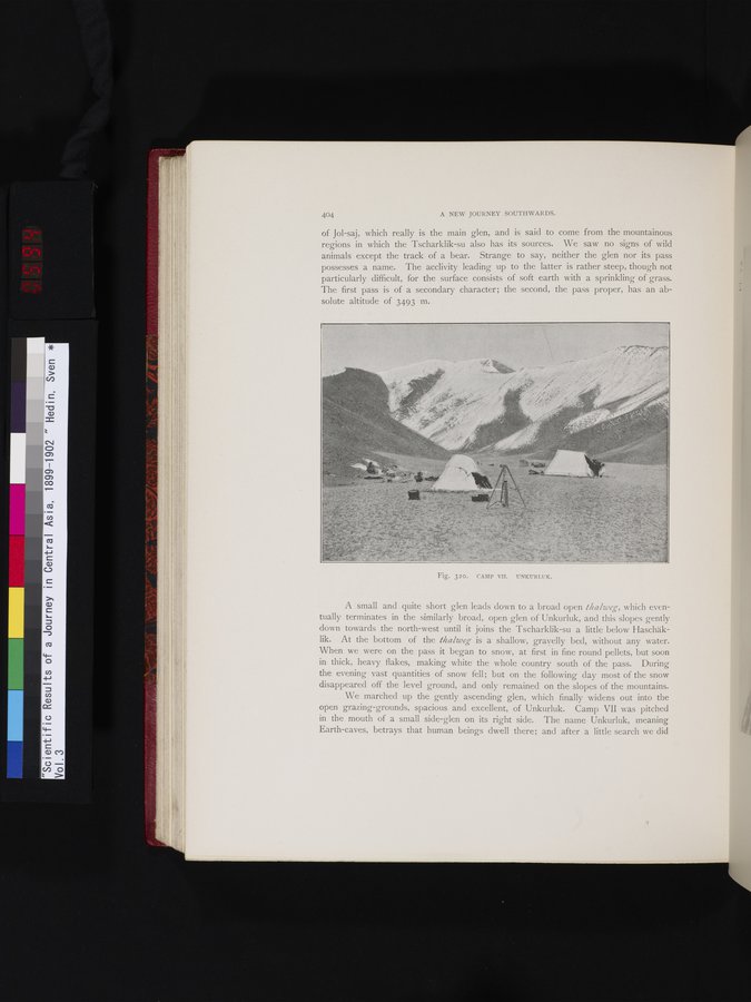
We marched up the gently ascending glen, which finally widens out into the open grazing-grounds, spacious and excellent, of Unkurluk. Camp VII was pitched in the mouth of a small side-glen on its right side. The name Unkurluk, meaning Earth-caves, betrays that human beings dwell there; and after a little search we did
~
Fig. 320. CAMP VIT. UNKURLUK.
|
Copyright (C) 2003-2019 National Institute of Informatics and The Toyo Bunko. All Rights Reserved.