National Institute of Informatics - Digital Silk Road Project
| |||||||||
|
| Scientific Results of a Journey in Central Asia, 1899-1902 : vol.3 |
 |
THE GHAS-KÖL AND TO THE DOUBLE GORGE IN THE AKATO-TAGH. 269
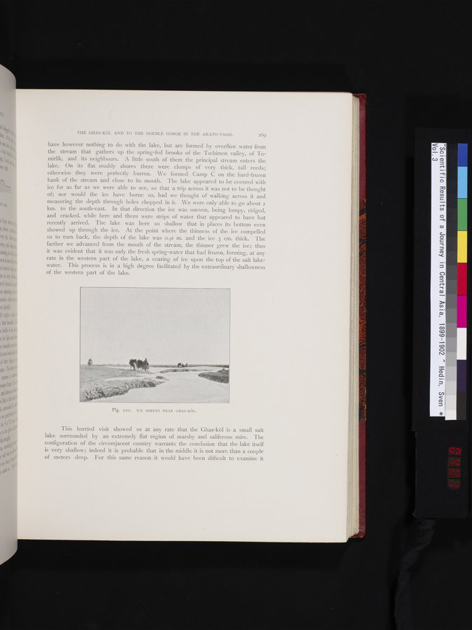
have however nothing to do with the lake, but are formed by overflow water from the stream that gathers up the spring-fed brooks of the Tschimen valley, of Temirlik, and its neighbours. A little south of them the principal stream enters the lake. On its flat muddy shores there were clumps of very thick, tall reeds; otherwise they were perfectly barren. We formed Camp C on the hard-frozen bank of the stream and close to its mouth. The lake appeared to be covered with ice for as far as we were able to see, so that a trip across it was not to be thought of; nor would the ice have borne us, had we thought of walking across it and measuring the depth through holes chopped in it. We were only able to go about 2 km. to the south-east. In that direction the ice was uneven, being lumpy, ridged, and cracked, while here and there were strips of water that appeared to have but recently arrived. The lake was here so shallow that in places its bottom even showed up through the ice. At the point where the thinness of the ice compelled us to turn back, the depth of the lake was 0.58 m. and the ice 3 cm. thick. The farther we advanced from the mouth of the stream, the thinner grew the ice; thus it was evident that it was only the fresh spring-water that had frozen, forming, at any rate in the western part of the lake, a coating of ice upon the top of the salt lake-water. This process is in a high degree facilitated by the extraordinary shallowness of the western part of the lake.
This hurried visit showed us at any rate that the Ghas-köl is a small salt lake surrounded by an extremely flat region of marshy and saliferous mire. The configuration of the circumjacent country warrants the conclusion that the lake itself is very shallow; indeed it is probable that in the middle it is not more than a couple of meters deep. For this same reason it would have been difficult to examine it
Fig. 202. ICE SHEETS NEAR GHAS-KÖL.
|
Copyright (C) 2003-2019 National Institute of Informatics and The Toyo Bunko. All Rights Reserved.