National Institute of Informatics - Digital Silk Road Project
| |||||||||
|
| Scientific Results of a Journey in Central Asia, 1899-1902 : vol.3 |
 |
366
JOURNEY TO ANAMBARUIN-ULA.
peaks, and behind that, again, there towers up a domed snowy summit. The road of which I have already spoken, and about which I shall have something more to say presently, runs through a gap, about 4 km. up the glen, on the north side of the snowy mass and south of the foothills. The broad bottom of the Tsagan-davo was strewn with gravel, amid which we perceived signs of copious downflows of water. At that time there was a thin strip of ice in the middle of .the channel, beginning beside the track and stretching some distance lower down. Those parts of the bottom of the glen which are not reached by the flowing water consist of soft materials, whereon scrub vegetation was growing. This glen lies at a somewhat lower level than that in which Camp CXXV was pitched. In places the lateral erosion has eaten into the hills that crown the escarpments at the side. This not infrequently gives rise to curious crevices or cracks, both long and narrow; and these may be said to be the characteristic feature of the locality.
The mountain slopes west of Tsagan-davo are so exceptionally seamed with watercourses that we crossed over one every minute, or rather should have done so had they not been individually so deep and so difficult that several minutes were required to get across each of them. They anastomosed and separated again, giving rise to an inextricable reticulation; and when we glanced down towards the north, we saw the slopes below us likewise furrowed by a similar network of dark lines.
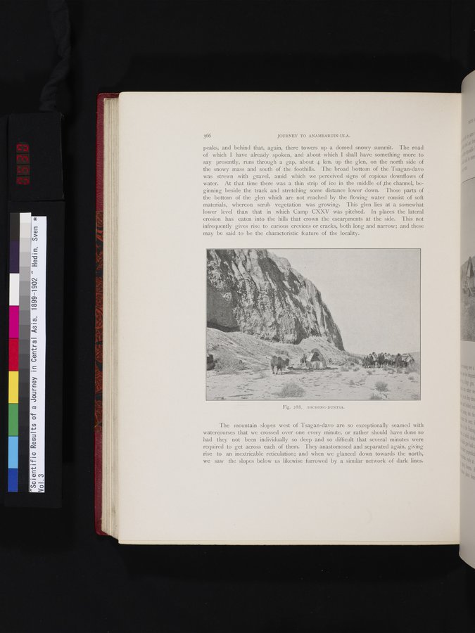
Fig. 2 SS. DSCHONG-DUNTSA.
|
Copyright (C) 2003-2019 National Institute of Informatics and The Toyo Bunko. All Rights Reserved.