National Institute of Informatics - Digital Silk Road Project
| |||||||||
|
| Scientific Results of a Journey in Central Asia, 1899-1902 : vol.3 |
 |
164 MY FIRST JOURNEY IN NORTH-EASTERN TIBET.
t:
march the lake basin was bounded by small ramifications and offshoots of the main range that rises above the latitudinal valley on the south, and beyond these lies the smaller lake. The former, larger lake sends out to the east a bay, or rather perhaps a lagoon, which connects by means of a narrow sound with the smaller lake on the east. This receives also a second stream from the east, which, after breaking through the hills, enters the lake by two arms, and each of these at the time of our visit carried a volume of I cub.m. The water in the lagoon was therefore fresh, whereas the sp. gr. of the water in the lake was 1.0225. The sides of the brook were edged with ice, and the lagoon, which may indeed be regarded as a broad expansion of the brook, was entirely frozen over, this being no doubt its definitive winter ice. On the other hand there was not a trace of ice along the shores of the lake, partly because of the salinity of its water, partly because of the vigorous and incessant waves that beat upon them. But the lagoon was protected by the peninsula, and was frozen all the way into the outer sound beyond.
1;
; ,1.
If
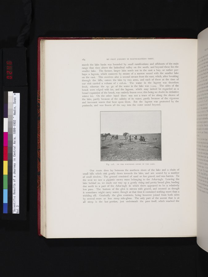
Fig. I28. ON THE NORTHERN SHORE OF THE LAKE.
Our route then lay between the northern shore of the lake and a chain of small hills which sink gently down towards the lake, and are scored by a number of small rivulets. The ground consisted of sand or fine gravel, and was barren. To the west we saw a gigantic snowy mass belonging to the Arka-tagh. Leaving the lake behind us, we made our way up a gently rising and pretty broad glen, leading due north to a part of the Arka-tagh in which there appeared to be a relatively low pass. The bottom of the glen is strewn with gravel, and seemed as though it sometimes might carry water, though at that time it contained nothing more than a trickling rill. Gradually the glen contracts, being however joined from both sides by several more or less steep side-glens. The only part of the ascent that is at all steep is the last portion, just underneath the pass itself, which reached the
|
Copyright (C) 2003-2019 National Institute of Informatics and The Toyo Bunko. All Rights Reserved.