National Institute of Informatics - Digital Silk Road Project
| |||||||||
|
| Scientific Results of a Journey in Central Asia, 1899-1902 : vol.3 |
 |
472
A NEW JOURNEY SOUTHWARDS.
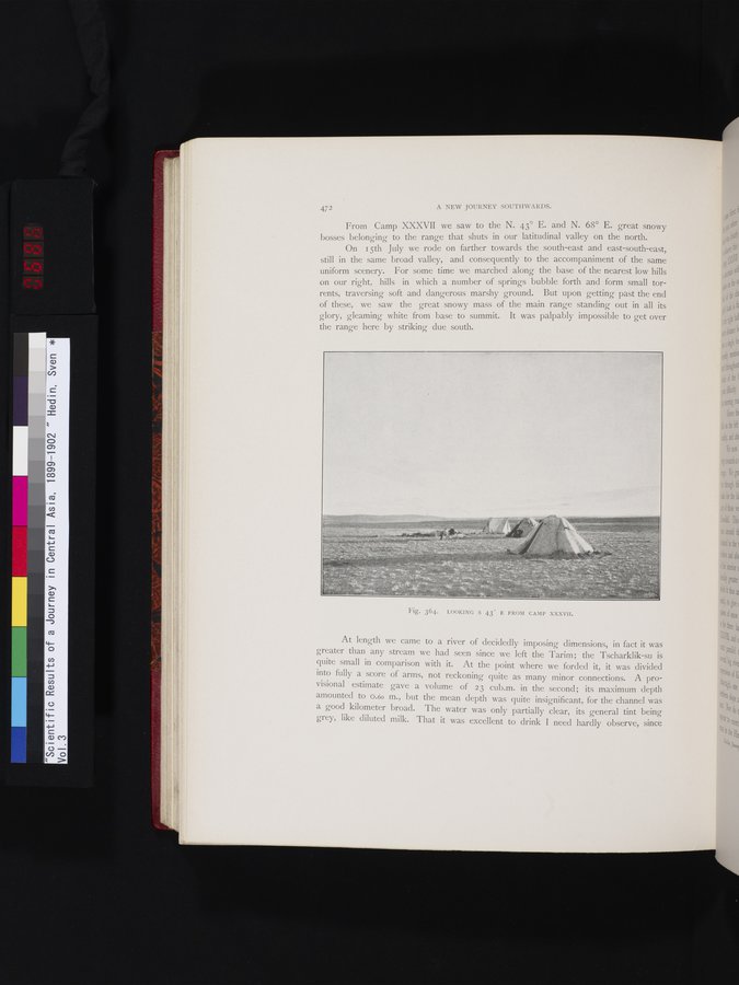
From Camp XXXVII we saw to the N. 43° E. and N. 68° E. great snowy bosses belonging to the range that shuts in our latitudinal valley on the north.
On I 5th July we rode on farther towards the south-east and east-south-east, still in the same broad valley, and consequently to the accompaniment of the same uniform scenery. For some time we marched along the base of the nearest low hills on our right, hills in which a number of springs bubble forth and form small torrents, traversing soft and dangerous marshy ground. But upon getting past the end of these, we saw the great snowy mass of the main range standing out in all its glory, gleaming white from base to summit. It was palpably impossible to get over the range here by striking due south.
.,i
At length we came to a river of decidedly imposing dimensions, in fact it was greater than any stream we had seen since we left the Tarim; the Tscharklik-su is quite small in comparison with it. At the point where we forded it, it was divided into fully a score of arms, not reckoning quite as many minor connections. A provisional estimate gave a volume of 23 cub.m. in the second; its maximum depth amounted to O.6o m., but the mean depth was quite insignificant, for the channel was a good kilometer broad. The water was only partially clear, its general tint being grey, like diluted milk. That it was excellent to drink I need hardly observe, since
Fig. 364. LOOKING S 43° E FROM CAMP XXXVII.
|
Copyright (C) 2003-2019 National Institute of Informatics and The Toyo Bunko. All Rights Reserved.