National Institute of Informatics - Digital Silk Road Project
| |||||||||
|
| Scientific Results of a Journey in Central Asia, 1899-1902 : vol.3 |
 |
OVER THE ASTIN-TAGH. I I
•
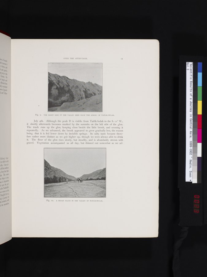
Fig. 9. THE RIGHT SIDE OF THE VALLEY SEEN FROM THE SPRING OF TATLIK-BULAK.
July 4th. Although the peak D is visible from Tatlik-bulak to the S. I i° W., it shortly afterwards becomes masked by the summits on the left side of the glen. The track runs up the glen, keeping close beside the little brook, and crossing it repeatedly. As we advanced, the brook appeared to grow gradually less, the reason being that it is fed lower down by invisible springs. Its salty taste became therefore rather more distinct as we got higher up, though we were always able to drink it. The floor of the glen rises slowly, but steadily, and is abundantly strewn with gravel. Vegetation accompanied us all day, but thinned out somewhat as we ad-
Fig. IO. A BROAD PLACE IN THE VALLEY OF TATLIK-BULAK.
|
Copyright (C) 2003-2019 National Institute of Informatics and The Toyo Bunko. All Rights Reserved.