National Institute of Informatics - Digital Silk Road Project
| |||||||||
|
| Scientific Results of a Journey in Central Asia, 1899-1902 : vol.3 |
 |
168 MY FIRST JOURNEY IN NORTH-EASTERN TIBET.
arrives a similar glen, with water then flowing down it. All these small rainwater channels gather into the broad glen in which we were marching. The mountains by which that glen is shut in are of no great magnitude and their orographical disposition is not clear; originally and properly they appear to belong to a range that runs parallel to the Arka-tagh. Another large side-glen arrives from the west. Then we doubled a projecting wing of the mountains on the right and shortly afterwards a similar projecting wing on the left. There was not a drop of water
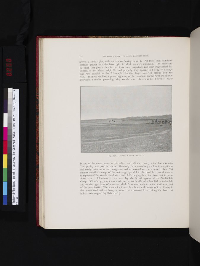
in any of the watercourses in this valley, and all the country after that was arid. The grazing was good in places. Gradually the mountains grew less in magnitude, and finally came to an end altogether, and we crossed over an extensive plain. Yet another subsidiary range of the Arka-tagh, parallel to the two I have just described, is represented by certain small detached bluffs ranging in a line from east to west. Some 8 or to kilometers to the east lay the broad expanse of the Atschik-köl. Camp LXV (alt. 4251 m.) was made on the north side of a last little rounded hill, and on the right bank of a stream which flows east and enters the north-west part of the Atschik-köl. The stream itself was then beset with sheets of ice. Owing to the intense cold and the blowy weather I was deterred from visiting the lake; but it has been mapped by Roborovskij.
Fig. 130. LOOKING N FROM CAMP LXV.
|
Copyright (C) 2003-2019 National Institute of Informatics and The Toyo Bunko. All Rights Reserved.