National Institute of Informatics - Digital Silk Road Project
| |||||||||
|
| Scientific Results of a Journey in Central Asia, 1899-1902 : vol.3 |
 |
ALONG THE SOUTHERN FOOT OF THE ARKA-TAGH.
559
Tibet is that of a flat, rounded swelling, and in consequence of this the ice-formations shape themselves into a mantle, a breastplate, or a flat cap, from which lappets and skirts project at intervals, while on the other hand the peculiar long narrow type of glaciers that are characteristic of the Alps have no opportunity to develop.
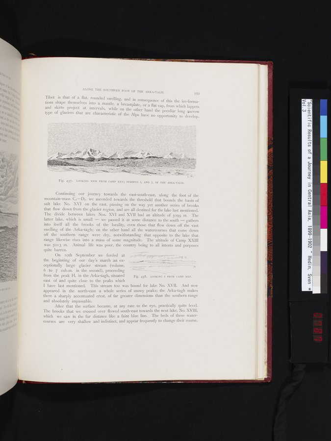
Fig. 437. LOOKING NNW FROM CAMP XXV; SUMMITS I, AND J, OF THE ARKA-TAGH.
Continuing our journey towards the east-south-east, along the foot of the mountain-mass C,—D,, we ascended towards the threshold that bounds the basin of salt lake No. XVI on the east, passing on the way yet another series of brooks that flow down from the glacier region, and are all destined for the lake last mentioned. The divide between lakes Nos. XVI and XVII had an altitude of 5099 m. The latter lake, which is small — we passed it at some distance to the south — gathers into itself all the brooks of the locality, even those that flow clown off the vast swelling of the Arka-tagh; on the other hand all the watercourses that come down off the southern range were dry, notwithstanding that opposite to the lake that range likewise rises into a mass of some magnitude. The altitude of Camp XXIII was 5013 in. Animal life was poor, the country being to all intents and purposes
quite barren.
On IOth September we forded at the beginning of our day's march an exceptionally large glacier stream (volume, 6 to 7 cub.m. in the second), proceeding from the peak H, in the Arka-tagh, situated
east of and quite close to the peaks which
I have last mentioned. This stream too was bound for lake No. XVII. And now appeared in the north-east a whole series of snowy peaks; the Arka-tagh makes there a sharply accentuated crest, of far greater dimensions than the southern range
and absolutely impassable.
After that the surface became, at any rate to the eye, practically quite level. The brooks that we crossed over flowed south-east towards the next lake, No. XVIII, which we saw in the far distance like a faint blue line. The beds of these watercourses are very shallow and indistinct, and appear frequently to change their course,
Fig. 438. LOOKING S FROM CAMP XXV.
|
Copyright (C) 2003-2019 National Institute of Informatics and The Toyo Bunko. All Rights Reserved.