National Institute of Informatics - Digital Silk Road Project
| |||||||||
|
| Scientific Results of a Journey in Central Asia, 1899-1902 : vol.3 |
 |
430 A NEW JOURNEY SOUTHWARDS.
a rather broad dome-like arching of the crest. Here the snow lay very deep everywhere. The altitude above sea-level was 5189 m. Thus we had climbed 252 m. since leaving Camp XIX; but the notable thing is this, that when you are already at an altitude of 5000 m., even the slightest further ascent costs you tremendous exertions; every additional ten meters at that altitude are as difficult to accomplish as a hundred meters at an altitude of 2000 M.
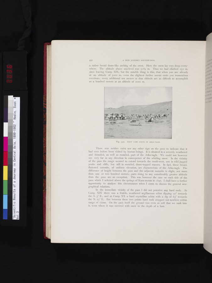
Fig. 339. FIRST CAMP SOUTH OF ARKA-TAGH.
There was neither cairn nor any other sign on the pass to indicate that it had ever before been visited by human beings. It is situated in a severely weathered and denuded, as well as rounded, part of the Arka-tagh. We could not however see very far in any direction in consequence of the whirling snow. In the vicinity of the pass the range seemed to extend towards the south-west, not in wild jagged peaks and cliffs, but still in rounded, dome-topped masses. In fact, these broad, flattened summits, of uniform elevation, are characteristic of the Arka-tagh. The difference of height between the pass and the adjacent summits is slight, not more than one or two hundred meters; parts rising to any considerably greater altitude than the pass are an exception. This was however the case on each side of the pass which I selected above the springs of Kara-muran in 1896. I shall have a further opportunity to analyse this circumstance when I come to discuss the general orographical relations.
In the immediate vicinity of the pass I did not perceive any hard rock. At Camp XIX there was a friable, weathered argillaceous schist dipping 27° towards the S. 3° E., and at Camp XX a hard crystalline schist with a dip of 63° towards the N. 15° E. But between these two points hard rock cropped out nowhere within range of vision. On the pass itself the ground was even so soft that we sank into it, even where it was covered with snow to the depth of a foot.
~
4
|
Copyright (C) 2003-2019 National Institute of Informatics and The Toyo Bunko. All Rights Reserved.