National Institute of Informatics - Digital Silk Road Project
| |||||||||
|
| Scientific Results of a Journey in Central Asia, 1899-1902 : vol.3 |
 |
one another. It proved impossible for me to make out where my routes of i 900 and 1901 crossed the route which I followed in 1896, and on the general map which
accompanies this work, it has only been found possible to have regard to the actual itinerary itself.
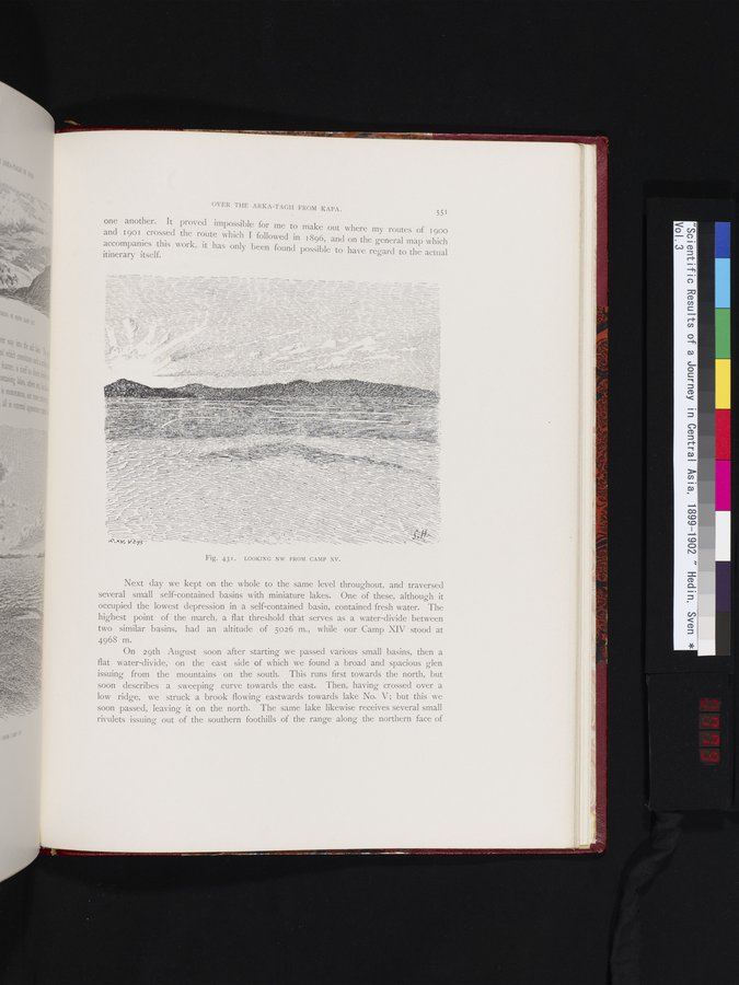
Fig. 431. LOOKING NW FROM CAMP XV.
Next day we kept on the whole to the same level throughout, and traversed several small self-contained basins with miniature lakes. One of these, although it occupied the lowest depression in a self-contained basin, contained fresh water. The highest point of the march, a flat threshold that serves as a water-divide between two similar basins, had an altitude of 5026 m., while our Camp XIV stood at 4968 m.
On 29th August soon after starting we passed various small basins, then a flat water-divide, on the east side of which we found a broad and spacious glen issuing from the mountains on the south. This runs first towards the north, but soon describes a sweeping curve towards the east. Then, having crossed over a low ridge, we struck a brook flowing eastwards towards lake No. V; but this we soon passed, leaving it on the north. The same lake likewise receives several small rivulets issuing out of the southern foothills of the range along the northern face of
|
Copyright (C) 2003-2019 National Institute of Informatics and The Toyo Bunko. All Rights Reserved.