National Institute of Informatics - Digital Silk Road Project
| |||||||||
|
| Scientific Results of a Journey in Central Asia, 1899-1902 : vol.3 |
 |
FROM TOGIIRI-SAJ TO TEMIRLIK: ROCK PICTURES. 187
the east, it dips 6o° towards the N. 5o° W., the rock being there exceptionally hard and fine of grain. Lower down, near Camp LXX, the dip was 69° towards the S. 6o° W. and 42° towards the S. 5° W. But between the hard strata there were other green schists of a coarser consistency. Granite was abundant among the detritus, though we nowhere found it in the hard rock. Thus it is only in the granite region that the glen presents the features of rugged wildness and sharply accentuated relief that I have alluded to. As soon as it emerges amongst the schists it broadens out and
the slope is more evenly divided.
October 1 oth. It was not until to-day that we once more got down to the same level that we had been at when beside the Atschik-köl, which proves that the glen has a pretty long and gradual slope. In proportion as we approached lower regions it also grew colder; it was now pretty close to — 19° C. In the course of the morning, although the sky was perfectly clear, a furious
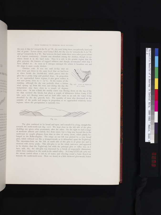
Fig. 150. PLAN OF TERRACES
wind sprang up from the west, and during the day the AT A LOOP.
temperature may have risen to a couple of degrees
above zero. At ten o'clock the muddy water was flowing down on the top of the ice that covered the brook, but about a couple of kilometers below Camp LXX (alt. 4352 m.) flowing water and ice both alike came to an end, the water being absorbed by the dry gravelly bed. The quantity of snow also decreased on the summits of the peaks and ranges in proportion as we approached relatively lower regions, where the precipitation is naturally less.
••%%/~,,
Fig. 15 I .
The glen continued to be broad and open, and extended in a long, straight line towards the north-north-east (fig. 151). We kept close to the left side of the glen, doubling one green schist promontory after the other. On the right we had a range of moderate altitude and entirely free from snow; but a long way beyond this in the north-east we caught glimpses from time to time of snowy crests, which plainly belonged to the Kalta-alaghan. The range on our left was pierced by a very broad glen, which widened out like a trumpet-mouth as it debouched upon the Toghri-saj. The mountain-chain on the left or north side of this glen is of great size and is crowned with snowy peaks. This side-glen is on the whole narrower, and appeared to be shorter, than the Toghri-saj ; but while the principal glen or valley was, as I have said, dry, the side-glen was traversed by a brook of respectable dimensions, which then continued to the north in the united valley. At Camp LXXI (alt. 4067 m.) the stream carried about 2 cub. m. of water, and wheeling round a butte flowed on towards the north-north-west. Here we found, in a little sheltered glen-mouth, better
|
Copyright (C) 2003-2019 National Institute of Informatics and The Toyo Bunko. All Rights Reserved.