National Institute of Informatics - Digital Silk Road Project
| |||||||||
|
| Scientific Results of a Journey in Central Asia, 1899-1902 : vol.3 |
 |
r,
I 58 MY FIRST JOURNEY IN NORTH—EASTERN TIBET.
Red sandstone was everywhere predominant, though it was extremely seldom that it showed as hard rock. At the beginning of the day's march the dip was I o° towards the S. 50° W., and a dark, rather fine-grained conglomerate, which cropped out there, dipped 1 o° towards the N. 65° W. ; but neither of these determinations is quite reliable, because it was impossible to be quite sure that it was the outcrop of the hard rock that we had to deal with. Nor did the glen leading up to the pass offer anything more definite in this respect, though often we would see the sandstone fragments arranged in long rows like books on a bookshelf.
September 25th. The self-contained basin in which Camp LVII was pitched has, quite close on the north, a low, flat crest (alt. 5138 m.), and on this, immediately west of our route, rises a relatively low, flat, dome-shaped mountain, on the eastern flank of which was a solitary, distinctly outlined dune (fig. 123). Its crest, drawn with the utmost sharpness, pointed towards the east-south-east, and its northern slope was flat, while the southern was steeper. The dune has formed on the side of the mountain that is sheltered against the west wind; but it is very strange indeed to find so large a dune just beside this mountain, when there are none beside any other in the vicinity.
North of this crest come two other small basins, each containing its pool ; the more northerly one is bordered by a low crest (alt. 5151 m.), from which we descended pretty steeply into a rather large glen, the brook in which flows east-northeast in a winding course between red terraced slopes. On the left we passed some dominating peaks, one of them in part covered with snow. From the left-hand side of the brook we then climbed slowly up over hard, firm ground, until we were compelled, by a small detached ridge farther north, to turn off to the north-east, whereupon we crossed over a large glen running towards the east. We crossed a third similar glen on the north side of a flat saddle.
Then we crossed over yet two other cols, with a minor glen between them. In a word our route led at right angles across a number of small crests, and rami-
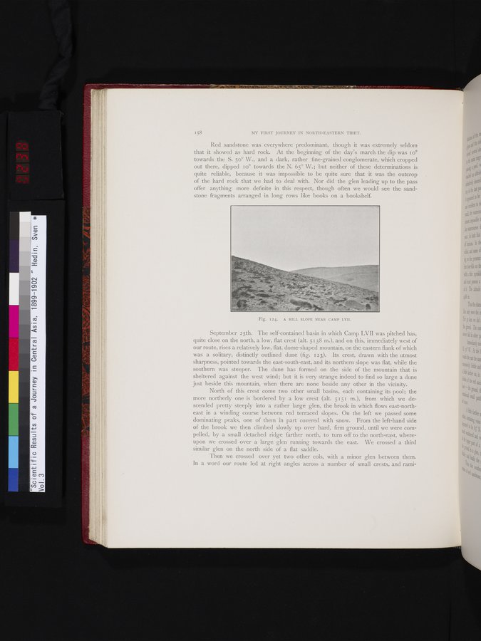
Fig. I24. A HILL SLOPE NEAR CAMP LVII.
|
Copyright (C) 2003-2019 National Institute of Informatics and The Toyo Bunko. All Rights Reserved.