National Institute of Informatics - Digital Silk Road Project
| |||||||||
|
| Scientific Results of a Journey in Central Asia, 1899-1902 : vol.3 |
 |
ALONG THE SOUTHERN FOOT OF THE ARKA-TAGH.
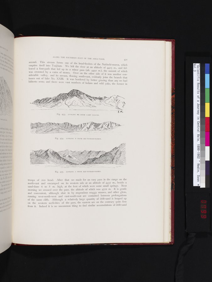
571 second. This stream forms one of the head-feeders of the Naidschi-muren which empties itself into Tsajdam. We left the river at an altitude of 4425 m., and followed a foot path that led up to a minor pass (alt. 4492 m•), the summit of which was crowned by a cairn of stones. Over on the other side of it was another considerable valley, and its stream, flowing south-east, evidently joins the branch that issues out of lake No. XXIII. It was bordered by better grazing than any we had hitherto seen; and there were vast numbers of kulans and wild yaks, the former in
I
Fig. 453. LOOKING NE FROM CAMP XXXVIII.
troops of 200 head. After that we made for an easy pass in the range on the north-east and encamped on its western side at an altitude of 4457 m., beside a sand-dune 6 to 8 m. high, at the foot of which were some small springs. Next morning we crossed over the pass, the altitude of which was 4522 m. It is gentle and convenient, although shut in by stupendous craggy masses, and other glens, running west-north-west and east-south-east are contained between prolongations of the same cliffs. Although a relatively large quantity of drift-sand is heaped up on the western acclivities of the pass, the eastern are on the contrary quite free from it. Indeed it is no uncommon thing to find similar accumulations of drift-sand
Fig. 454. LOOKING N FROM IKE-TSOHAN-NAMEN.
Fig. 455. LOOKING S FROM IKE-TSOHAN-NAMEN.
|
Copyright (C) 2003-2019 National Institute of Informatics and The Toyo Bunko. All Rights Reserved.