国立情報学研究所 - ディジタル・シルクロード・プロジェクト
| |||||||||
|
| Scientific Results of a Journey in Central Asia, 1899-1902 : vol.3 | |
| 1899-1902年の中央アジア旅行における科学的成果 : vol.3 |
 |
FROM THE ARKA-TAGH TO THE GOLD-MINES OF TOGHRI-SAJ. 181
thus early the idea suggested itself, that this route must be impracticable in summer, for in places the stream must then wholly fill the bottom of the glen. For this reason the gold-miners, who work at the mines lower down in the same valley, usually travel to them in the autumn, when the river has dropped sufficiently.
Granite was now predominant everywhere. Still there must be also a fine-grained, extremely hard crystalline schist somewhere in the hard rocks, for the débris in the bottom of the glen contains fragments of such intermingled with the granite, although in far smaller quantity. All the way down the glen the cliffs were composed of a yellowish or pinky granite, and at Camp LXVIII the granite formed
a vast talus slope on the right side of
the glen. This granite region is rich in wild, craggy scenery — fantastic outlines,
imposing masses and spurs of bare rock, dome-shaped, compact, and extremely rugged pinnacles.
October 8th. Toghri-saj, with its deeply accentuated glen formation, is indeed a remarkable phenomenon. It resembles a gigantic conduit, placed close to the west
Fig. 14 2. TOGHRI-SAJ.
Fig. 143. TOGHRI-SAJ.
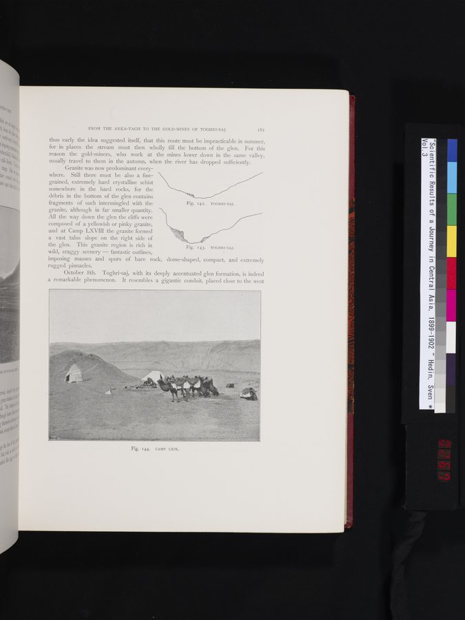
Fig. 144. CAMP LXIX.
|
Copyright (C) 2003-2019
National Institute of Informatics(国立情報学研究所)
and
The Toyo Bunko(東洋文庫). All Rights Reserved.
本ウェブサイトに掲載するデジタル文化資源の無断転載は固くお断りいたします。