国立情報学研究所 - ディジタル・シルクロード・プロジェクト
| |||||||||
|
| Scientific Results of a Journey in Central Asia, 1899-1902 : vol.3 | |
| 1899-1902年の中央アジア旅行における科学的成果 : vol.3 |
 |
THE AJAGH-KUM-KÖL AND THENCE TO PASCHALIK-SAJ. 227
tions, or rather it made a short but broken chain stretching east and west, parallel to the Kalta-alaghan and the long axis of the lake.
The principal portion lies in the middle, and has two smaller bluffs to the east, separated from itself by a broad glen, while on the west it is continued by a chain which grows steadily lower. These several portions all rise rather abruptly from the flat detritus plain. The mountainous parts are footed all round by a gently sloping talus, furrowed by small dry torrents.
Once we were past this detached mountain, we again commanded an uninterrupted view of the blunted bay at the western end of the lake. Its shores are low, possess no terrace, and are often white with salt. To the south and south-southwest we saw, at a distance of about I o km. from the southern shore of the lake, a low reddish crest, from the foot of which the surface slopes gradually down to the lake. For some distance immediately north of the westernmost part of the detached mountain we kept along a flat ridge, which slopes away very gently to both east and west. West of that divide all the brooks converge upon a stream that enters the lake's western bay, while to the east of the same they gather into a similar stream which issues from the Kalta-alaghan and enters the lake in the vicinity of Camp LXXXV, although, to judge from the appearance of the bed at its lowest part, the water seldom succeeds in getting down as far as the lake.
Beyond the main stream that enters the lake's western bay, and along the westward continuation line of mountain I, there rises a similar small detached mountain, lower than its neighbour, but spread out wider, and, as it appeared from the distance, covered with sand. Approaching the southern foot of the Kalta-alaghan, we crossed over the main channel just mentioned shortly after it emerges from a transverse glen, and then entered the nearest transverse glen, which at first ran north-west, but soon
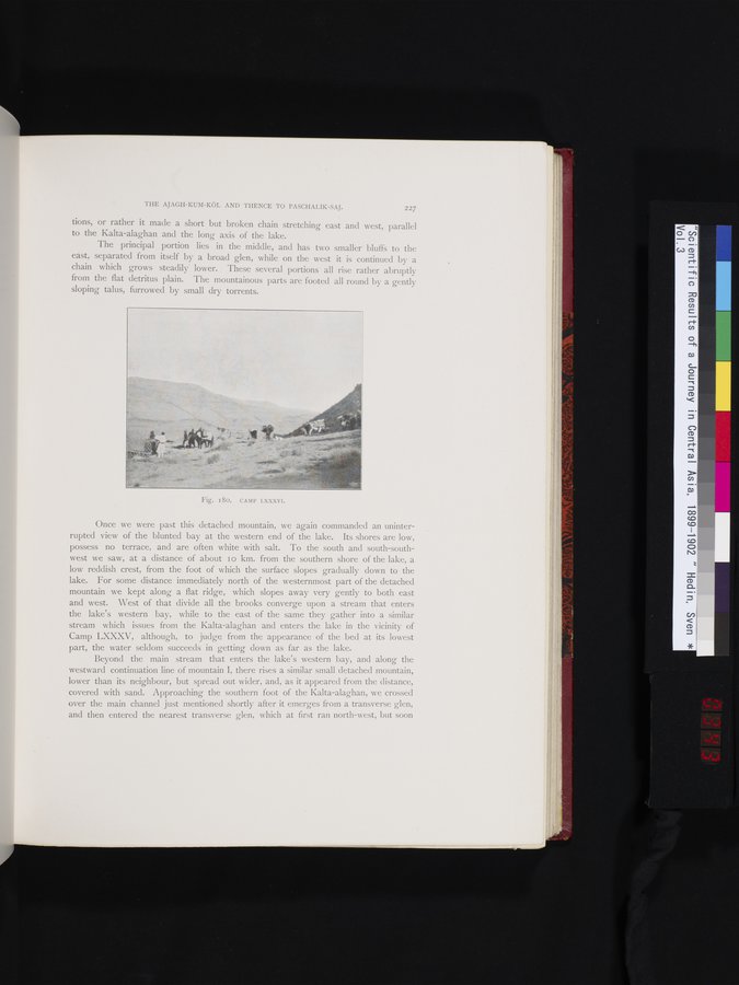
Fig. I80. CAMP LXXXVI.
|
Copyright (C) 2003-2019
National Institute of Informatics(国立情報学研究所)
and
The Toyo Bunko(東洋文庫). All Rights Reserved.
本ウェブサイトに掲載するデジタル文化資源の無断転載は固くお断りいたします。