国立情報学研究所 - ディジタル・シルクロード・プロジェクト
| |||||||||
|
| Scientific Results of a Journey in Central Asia, 1899-1902 : vol.3 | |
| 1899-1902年の中央アジア旅行における科学的成果 : vol.3 |
 |
SOUTH OF ANAMBARUIN-ULA - SÄRTÄNG.
333
the surface is plentifully strewn with gravel, stones, and disintegration products of all kinds.
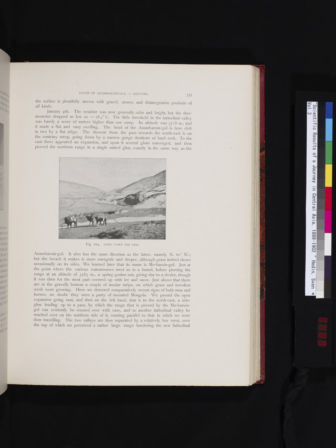
January 4th. The weather was now generally calm and bright, but the thermometer dropped as low as -- 28.5° C. The little threshold in the latitudinal valley was barely a score of meters higher than our camp. Its altitude was 3718 m., and it made a flat and easy swelling. The head of the Anambaruin-gol is here cleft in two by a flat ridge. The descent from the pass towards the north-east is on the contrary steep, going down by a narrow gorge destitute of hard rock. To the east there appeared an expansion, and upon it several glens converged, and then pierced the northern range in a single united glen, exactly in the same way as the
il
Anambaruin-gol. It also has the same direction as the latter, namely N. 6o° W.; but the breach it makes is more energetic and deeper, although grass indeed shows occasionally on its sides. We learned later that its name is Mo-baruin-gol. Just at the point where the various watercourses meet as in a funnel, before piercing the range at an altitude of 3585 m., a spring gushes out, giving rise to a rivulet, though it was then for the most part covered up with ice and snow. Just above that there are in the gravelly bottom a couple of insular strips, on which grass and teresken scrub were growing. Here we detected comparatively recent signs of both men and horses; no doubt they were a party of mounted Mongols. We passed the open expansion going east, and then on the left hand, that is to the north-east, a side-glen leading up to a pass, by which the range that is pierced by the Mo-baruingol can evidently be crossed over with ease, and so another latitudinal valley be reached over on the northern side of it, running parallel to that in which we were then travelling. The two valleys are thus separated by a relatively low crest, over the top of which we perceived a rather large range bordering the new latitudinal
Fig. 264. GOING DOWN THE PASS.
|
Copyright (C) 2003-2019
National Institute of Informatics(国立情報学研究所)
and
The Toyo Bunko(東洋文庫). All Rights Reserved.
本ウェブサイトに掲載するデジタル文化資源の無断転載は固くお断りいたします。