国立情報学研究所 - ディジタル・シルクロード・プロジェクト
| |||||||||
|
| Scientific Results of a Journey in Central Asia, 1899-1902 : vol.3 | |
| 1899-1902年の中央アジア旅行における科学的成果 : vol.3 |
 |
354
JOURNEY TO ANAMBARUIN-ULA.
desolate regions simply to let them graze for a few months in that far-off Tschimen; he for his part had never heard speak of it, and did not believe it was possible. But since the road actually exists, as we have seen, and moreover bears indications of a pretty lively traffic, and since it is nevertheless indicated on Chinese maps, there remains only the great probability, that it was at some former period employed by the Chinese, although it is difficult to see what advantage it can have offered over other great routes of communication between China and East Turkestan. The only advantages that one can at all perceive would be the coolness and the freshwater springs in summer. Those who are versed in ancient Chinese geography will no doubt more readily find the solution of this problem.
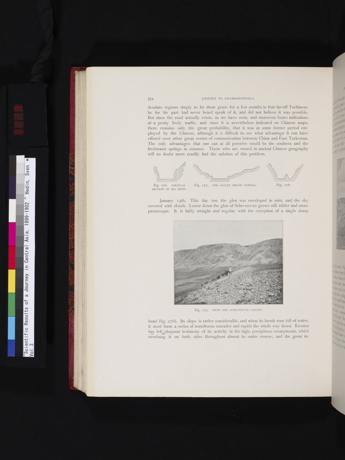
Fig. 276. VERTICAL Fig. 277. THE VALLEY BELOW DUNTSA.
SECTION OF BIG BEND.
January 14th. This day too the glen was enveloped in mist, and the sky covered with clouds. Lower down the glen of Scho-ovo-tu grows still wilder and more picturesque. It is fairly straight and regular, with the exception of a single sharp
bend (fig. 276). Its slope is rather considerable, and when its brook runs full of water, it musts form a series of tumultuous cascades and rapids the whole way down. Erosion has lefteloquent testimony of its activity in the high, precipitous escarpments, which overhang it on both sides throughout almost its entire course ; and the great in-
Fig. 278.
Fig. 279. FROM THE SCHO-OVO-TU VALLEY.
|
Copyright (C) 2003-2019
National Institute of Informatics(国立情報学研究所)
and
The Toyo Bunko(東洋文庫). All Rights Reserved.
本ウェブサイトに掲載するデジタル文化資源の無断転載は固くお断りいたします。