国立情報学研究所 - ディジタル・シルクロード・プロジェクト
| |||||||||
|
| Scientific Results of a Journey in Central Asia, 1899-1902 : vol.3 | |
| 1899-1902年の中央アジア旅行における科学的成果 : vol.3 |
 |
292 JOURNEY TO ANAMBARUIN-ULA.
respect it reminded me of the Kuruk-tagh farther to the north. Accordingly we followed the road into a small pass in an insignificant offshoot running towards the southeast. Thence the hard sandy surface slopes slowly and evenly down towards the beginning of a fresh saj, which, unlike the foregoing, proceeds towards the northeast, being sunk 2 to 3 m. deep. This new glen, in which the teresken was fairly abundant, and two or three tiny snow-drifts had forgotten to melt away, led us, as I have said, first towards the north-east, but soon it inclines to the east, south-east, and south-south-east, deepening as it advances, although its fall is easy, regular,
and slow. Its bottom shows plain indications of water-channels and of flowing water, although it appeared to be a long time since any actually flowed that way. This glen is joined from the right by two pretty large side-glens. On that same side, that is on the south, it is bordered by fairly flat, but tolerably extensive, mountain slopes, apparently the south-eastward continuation of the parallel range already alluded to. Farther on, to the south-south-east, rises a chaos of small, and apparently innocent looking, mountains, though in reality they are possessed of the same inhospitable characteristics as the Akato-tagh. On the left, that is north-east of our course, there now appeared a rather isolated mountain-mass of some magnitude. Although we were being taken quite out of our direction, that is to the south-east, instead of to the north-east, we had no choice except to follow the bottom of the
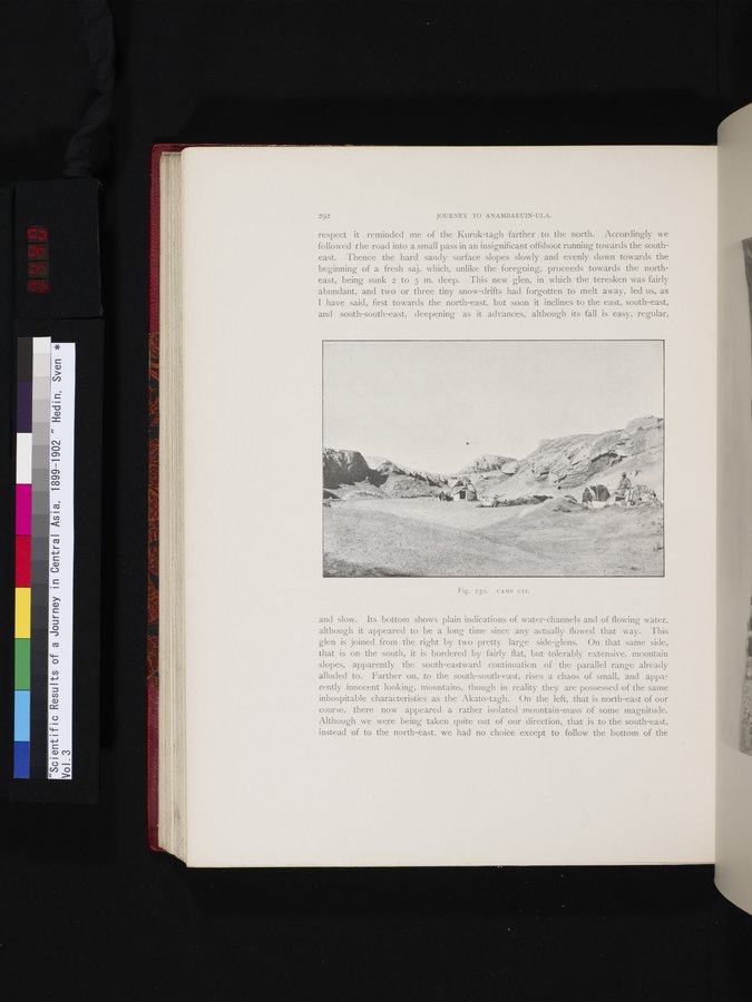
Fig. 23o. CAMP CVI.
|
Copyright (C) 2003-2019
National Institute of Informatics(国立情報学研究所)
and
The Toyo Bunko(東洋文庫). All Rights Reserved.
本ウェブサイトに掲載するデジタル文化資源の無断転載は固くお断りいたします。