国立情報学研究所 - ディジタル・シルクロード・プロジェクト
| |||||||||
|
| Scientific Results of a Journey in Central Asia, 1899-1902 : vol.3 | |
| 1899-1902年の中央アジア旅行における科学的成果 : vol.3 |
 |
A NEW JOURNEY SOUTHWARDS.
390
up the Tscharklik-su — a route in part rather difficult and seldom used. In fact that way of reaching the Tibetan highlands had never before been attempted by a European. Hence I was anxious at all costs to fill up a gap that would otherwise have existed in the map of the extreme north of the highland region. And I felt this task to be all the more incumbent upon me, because the picture of the upper Tscharklik-su which is given on the map of the Russian General Staff, and indeed on all other maps, of Northern Tibet, appeared to me a ftrzori extremely improbable. And we shall find that the preconceptions which had been formed both of the orographical and of the hydrographical relations are indeed very inaccurate and misleading. The reader will readily be able to convince himself of this by comparing my general map of the region in question with any other map he thinks fit.
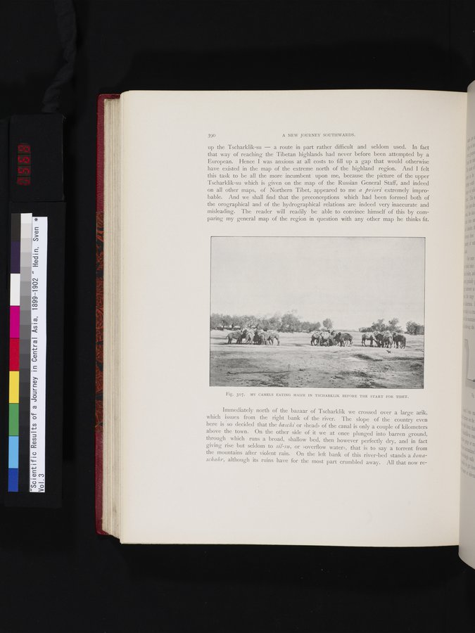
Fig. 307. MY CAMELS EATING MAIZE IN TSCHARKLIK BEFORE THE START FOR TIBET.
Immediately north of the bazaar of Tscharklik we crossed over a large arik, which issues from the right bank of the river. The slope of the country even here is so decided that the baschi or »head» of the canal is only a couple of kilometers above the town. On the other side of it we at once plunged into barren ground, through which runs a broad, shallow bed, then however perfectly dry, and in fact giving rise but seldom to sil-sir, or »overflow water», that is to say a torrent from the mountains after violent rain. On the left bank of this river-bed stands a konaschahr, although its ruins have for the most part crumbled away. All that now re-
|
Copyright (C) 2003-2019
National Institute of Informatics(国立情報学研究所)
and
The Toyo Bunko(東洋文庫). All Rights Reserved.
本ウェブサイトに掲載するデジタル文化資源の無断転載は固くお断りいたします。