国立情報学研究所 - ディジタル・シルクロード・プロジェクト
| |||||||||
|
| Scientific Results of a Journey in Central Asia, 1899-1902 : vol.3 | |
| 1899-1902年の中央アジア旅行における科学的成果 : vol.3 |
 |
576 MY JOURNEY ALONG TIIE ARKA-TAGII IN 1896.
on its left-hand side, the track being in places deeply trampled in the soft earthy covering, evidence of a lively traffic. The bed of the stream is filled with gravel and stones of all shapes and sizes. From the right our glen is joined by the side-glen of the Bagan-tsohan-gol, that descends from the pass of Bagan-tsohan-davan. On the left rises the towering granitic mass of Särdschin-tombo, across the spurs of which the track runs, and between which are several deep eroded watercourses. The glen gradually expands and the mountains slowly recede, giving room for gently undulating grassy expanses. Several side-glens come down to join it; but the only one that then contained any water was the Bamburtschi-to on the left. Our camp at Harato had an altitude of 3321 m.
--rf le/ ~
~ •,,~~~~/A~`~ ~ ,.,~•,,~ ,,
////j~~
/0
104
rt~~~~~,~~.~~~' ykl. /P, 'i4,;;
~— -
(f/„, /,~,r,,,n., .
~
1k ,ill/41i/ ~ll/
fl//////,,
`f/ ~ 71/r1n,, , /7,
—
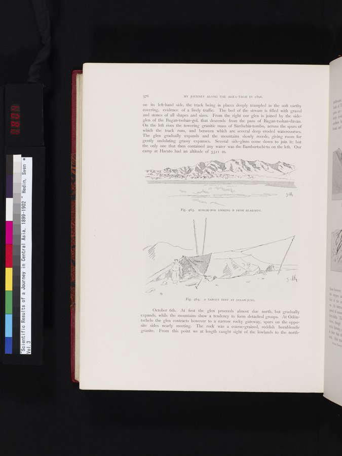
Fig. 463. KURLIK-NOR LOOKING N FROM HLAKIMTO.
October 6th. At first the glen proceeds almost due north, but gradually expands, while the mountains show a tendency to form detached groups. At Ödöntschelo the glen contracts however to a narrow rocky gateway, spurs on the opposite sides nearly meeting. The rock was a coarse-grained, . reddish hornblendic granite. From this point we at length caught sight of the lowlands to the north-
Fig. 464. A TANGUT TENT AT DULAN-JUNG.
|
Copyright (C) 2003-2019
National Institute of Informatics(国立情報学研究所)
and
The Toyo Bunko(東洋文庫). All Rights Reserved.
本ウェブサイトに掲載するデジタル文化資源の無断転載は固くお断りいたします。