国立情報学研究所 - ディジタル・シルクロード・プロジェクト
| |||||||||
|
| Scientific Results of a Journey in Central Asia, 1899-1902 : vol.3 | |
| 1899-1902年の中央アジア旅行における科学的成果 : vol.3 |
 |
UP TIIE TSCIIARKLIK-SU TO THE KUM-KÖL.
397
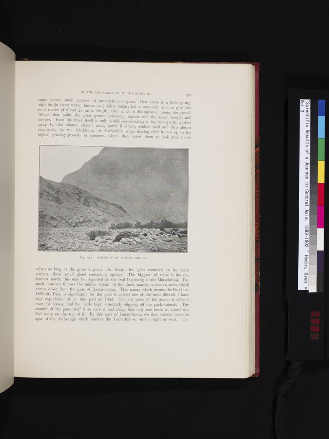
came across small patches of tamarisks and grass. Here there is a little spring, with bright fresh water, known as Julghun-bulak; but it was only able to give rise to a rivulet of about 40 m. in length, after which it disappeared among the gravel. Above that point the glen grows extremely narrow and the ascent steeper and steeper. Even the track itself is only visible occasionally; it has been partly washed away by the chance violent rains, partly it is only seldom used and then almost exclusively by the inhabitants of Tscharklik when driving their horses up to the higher grazing-grounds in summer, where they leave them to look after them-
Fig. 314. LOOKING N 20° E FROM CAMP III.
selves as long as the grass is good. At length the glen contracts to its head-sources, three small glens containing springs. The biggest of these is the one farthest north; this may be regarded as the real beginning of the Mätschit-saj. The track however follows the middle stream of the three, namely a steep torrent, which comes down from the pass of Jaman-davan. This name, which means the Bad (i. e. Difficult) Pass, is significant, for the pass is indeed one of the most difficult I have had experience of in this part of Tibet. The last piece of the ascent is difficult even for horses, and the loads kept constantly slipping off our pack-animals. The summit of the pass itself is so narrow and sharp that only one horse at a time can find room on the top of it. By this pass of Jaman-davan we thus crossed over the spur of the Astin-tagh which borders the Tscharklik-su on the right or west. The
|
Copyright (C) 2003-2019
National Institute of Informatics(国立情報学研究所)
and
The Toyo Bunko(東洋文庫). All Rights Reserved.
本ウェブサイトに掲載するデジタル文化資源の無断転載は固くお断りいたします。