National Institute of Informatics - Digital Silk Road Project
| |||||||||
|
| Scientific Results of a Journey in Central Asia, 1899-1902 : vol.3 |
 |
218
EXCURSION TO AJAGH-KUM-KÖL.
plants. At Camp LXXXII we dug a well; it yielded water, with a slightly saline flavour, at a depth of 1.42 m. The water rested upon blackish blue clay and had a temperature of + 0.9°. The ground itself was frozen to a depth of 0.36 m. The altitude was 3878 m.
From Camp LXXXI the grey to light green granite prevailed all the way up to the pass, where it was succeeded by red granite of moderate-sized grain, and this continued right through the mountains. At the right-hand side of the mouth of the southern glen this rock is interpenetrated by a number of veins of a close, hard pitch-black rock, about I m. thick, probably diabase. On the left-hand side too there are similar black bands disposed parallel with the bottom of the glen, showing up in sharp contrast against the red granite. These veins run from north-west to south-east and dip 65° towards the N. 35° R. Frequently they lie so close together that the intervening granite is not more than one or two meters in thickness. The dia-base is harder and fresher, and consequently stands out in relief; while on the other hand the granite is severely weathered, and that to an increasing extent in proportion to the thinness of the bands between the veins of diabase.
November 17th. We started to travel west, having the mountains on our right and the eastern schor shore of the lake on our left. But it was often impossible to determine whether it were schor, salt, or ice that stretched away from the south shore; at all events the surface was as level as a floor. Such level ex-
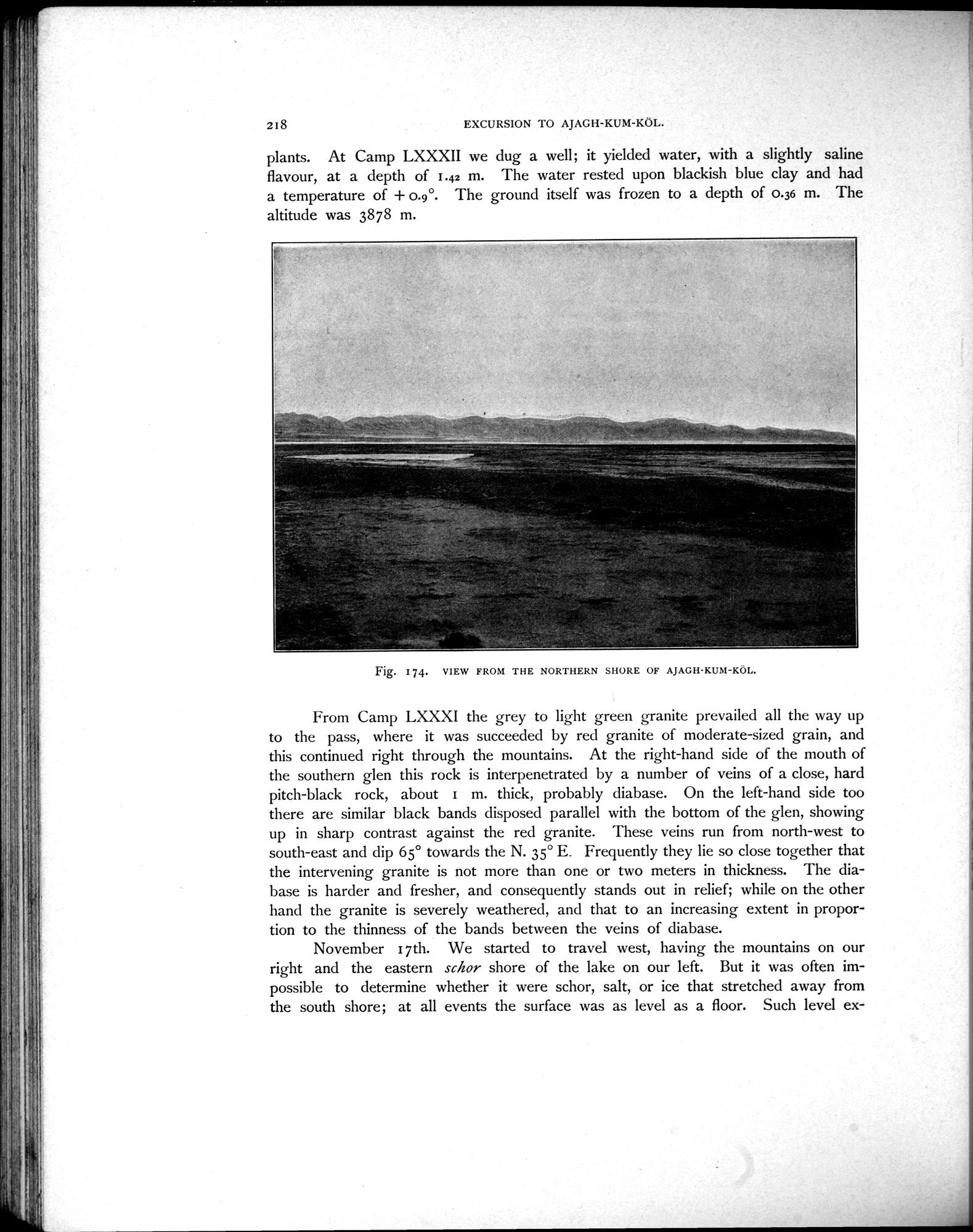
Fig. 174. VIEW FROM THE NORTHERN SHORE OF AJAGH-KUM-KÖL.
|
Copyright (C) 2003-2019 National Institute of Informatics and The Toyo Bunko. All Rights Reserved.