国立情報学研究所 - ディジタル・シルクロード・プロジェクト
| |||||||||
|
| Scientific Results of a Journey in Central Asia, 1899-1902 : vol.4 | |
| 1899-1902年の中央アジア旅行における科学的成果 : vol.4 |
 |
30
FROM CENTRAL TIBET TO LADAK.
vertical and more than 2 m. high. It was built up of sand and gravel-andshingle. The river was generally deep and its bed energetically cut out. Nowhere along the existing terraced banks were we able to detect lines or marks of higher water-levels. This circumstance again is proof of the existence of another lake to the west, which empties itself by this river into the Selling-tso, and at the same time serves as a regulator of the issuing stream. On each side of the river was a dry channel; these I took at the first glance to be chance branches of the river itself; but it turned out that they originate in the nearest mountain-ranges.
~
~
At the point where we forded the river — and this if it was not the only ford in the lower part of the river was at any rate its best ford — it was however divided into two arms by a long, narrow gravelly island. Below this island the river broadens out into a bay of irregular and capricious outlines, and a great number of low mud-banks and islands. 'The presence of this fine material was rather a surprise, for the current was absolutely free from all particles of matter, while the bottom above the gravelly island likewise consisted entirely of gravel. It might indeed be supposed that the river would be joined at its very mouth by torrents that rush down off the adjacent mountains after heavy rain, carrying with them quantities of sediment, which subsequently settles in the tranquil waters of the river-mouth; but it is more reasonable to suppose, that what now appear as mud-banks and islands were originally nothing more than relatively higher parts of the lake-
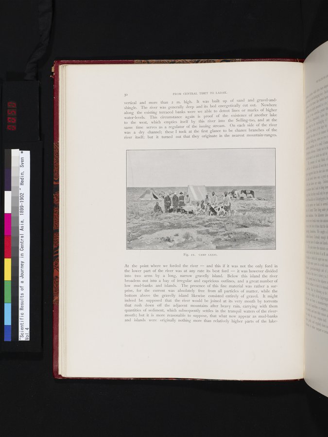
Fig. 22. CAMP LXXVI.
|
Copyright (C) 2003-2019
National Institute of Informatics(国立情報学研究所)
and
The Toyo Bunko(東洋文庫). All Rights Reserved.
本ウェブサイトに掲載するデジタル文化資源の無断転載は固くお断りいたします。