国立情報学研究所 - ディジタル・シルクロード・プロジェクト
| |||||||||
|
| Scientific Results of a Journey in Central Asia, 1899-1902 : vol.4 | |
| 1899-1902年の中央アジア旅行における科学的成果 : vol.4 |
 |
138 WESTWARDS TO LADAK.
We saw kulans and orongo antelopes, and the burrows of the marmots were not uncommon, although none of the animals showed themselves; possibly they had already begun their winter sleep.
October 1 oth. The sky still continued to be pure and of a perfect turquoise
blue, while the wind blew hard from the north-west, this direction being, I dare say, in great part prescribed by the direction of the valley. These meteorological conditions continued to be persistently characteristic of the late autumn, setting in after the summer, and being followed by the rains of early autumn. I was astonished to find the atmosphere so bright and transparent whilst a violent wind was blowing, but the explanation is no doubt to be sought in the fact that the greater part of the fine disintegrated material was being held fast, first by the moisture after the rains and then by the frost.
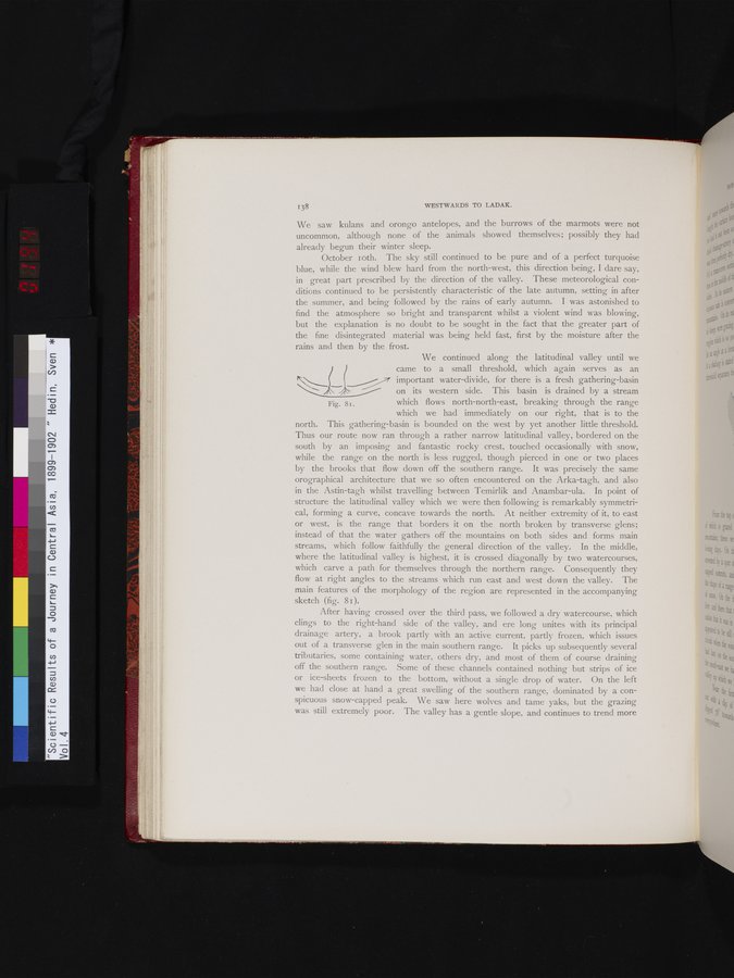
We continued along the latitudinal valley until we came to a small threshold, which again serves as an 1.______ _ _~~ important water-divide, for there is a fresh gathering-basin on its western side. This basin is drained by a stream
Fig. 8i. which flows north-north-east, breaking through the range
which we had immediately on our right, that is to the
north. This gathering-basin is bounded on the west by yet another little threshold. Thus our route now ran through a rather narrow latitudinal valley, bordered on the south by an imposing and fantastic rocky crest, touched occasionally with snow, while the range on the north is less rugged, though pierced in one or two places by the brooks that flow down off the southern range. It was precisely the same orographical architecture that we so often encountered on the Arka-tagh, and also in the Astin-tagh whilst travelling between Temirlik and Anambar-ula. In point of structure the latitudinal valley which we were then following is remarkably symmetrical, forming a curve, concave towards the north. At neither extremity of it, to east or west, is the range that borders it on the north broken by transverse glens; instead of that the water gathers off the mountains on both sides and forms main streams, which follow faithfully the general direction of the valley. In the middle, where the latitudinal valley is highest, it is crossed diagonally by two watercourses, which carve a path for themselves through the northern range. Consequently they flow at right angles to the streams which run east and west down the valley. The main features of the morphology of the region are represented in the accompanying sketch (fig. 8 1).
After having crossed over the third pass, we followed a dry watercourse, which
clings to the right-hand side of the valley, and ere long unites with its principal drainage artery, a brook partly with an active current, partly frozen, which issues out of a transverse glen in the main southern range. It picks up subsequently several tributaries, some containing water, others dry, and most of them of course draining off the southern range. Some of these channels contained nothing but strips of ice or ice-sheets frozen to the bottom, without a single drop of water. On the left we had close at hand a great swelling of the southern range, dominated by a conspicuous snow-capped peak. We saw here wolves and tame yaks, but the grazing was still extremely poor. The valley has a gentle slope, and continues to trend more
|
Copyright (C) 2003-2019
National Institute of Informatics(国立情報学研究所)
and
The Toyo Bunko(東洋文庫). All Rights Reserved.
本ウェブサイトに掲載するデジタル文化資源の無断転載は固くお断りいたします。