国立情報学研究所 - ディジタル・シルクロード・プロジェクト
| |||||||||
|
| Scientific Results of a Journey in Central Asia, 1899-1902 : vol.4 | |
| 1899-1902年の中央アジア旅行における科学的成果 : vol.4 |
 |
186
WESTWARDS TO LADAK.
fills almost the whole of the bottom of the valley, leaving on each side only narrow strips of sloping ground belonging to the respective gravelly screes. The valley maintains the same breadth, that is to say, it remains relatively narrow and is still shut in by wild rocky crests. Neither of these however is a main range, for at intervals, especially up the often narrow outlets of the transverse glens, we saw both to the north and to the south of our route the still more imposing masses of the main ranges towering up behind them. On the whole • these main ranges are less rugged in outline, but more compact and massive.
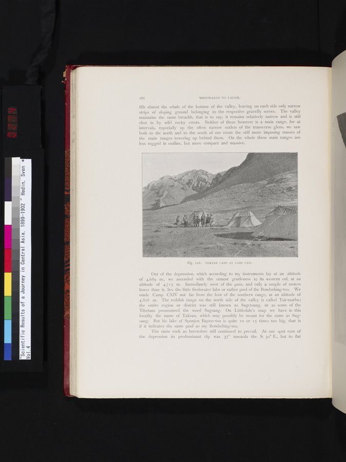
Out of the depression, which according to my instruments lay at an altitude of 4,689 m., we ascended with the utmost gentleness to its western col, at an altitude of 4,715 m. Immediately west of the pass, and only a couple of meters lower than it, lies the little freshwater lake or rather pool of the Bondsching-tso. We made Camp CXIV not far from the foot of the southern range, at an altitude of 4,808 m. The reddish range on the north side of the valley is called Tsä-marbo; the entire region or district was still known as Sagetsang, or as some of the Tibetans pronounced the word Sagsang. On Littledale's map we have in this locality the name of Taksan, which may possibly be meant for the same as Sag-sang. But his lake of Sponjen Baptse-tso is quite i o or 15 times too big, that is if it indicates the same pool as my Bondsching-tso.
The same rock as heretofore still continued to prevail. At one spot east of the depression its predominant dip was 37° towards the S. 3o° E., but its flat
Fig. I06. TIBETAN CAMP AT CAMP CXIV.
|
Copyright (C) 2003-2019
National Institute of Informatics(国立情報学研究所)
and
The Toyo Bunko(東洋文庫). All Rights Reserved.
本ウェブサイトに掲載するデジタル文化資源の無断転載は固くお断りいたします。