国立情報学研究所 - ディジタル・シルクロード・プロジェクト
| |||||||||
|
| Scientific Results of a Journey in Central Asia, 1899-1902 : vol.4 | |
| 1899-1902年の中央アジア旅行における科学的成果 : vol.4 |
 |
174
WESTWARDS TO LADAK.
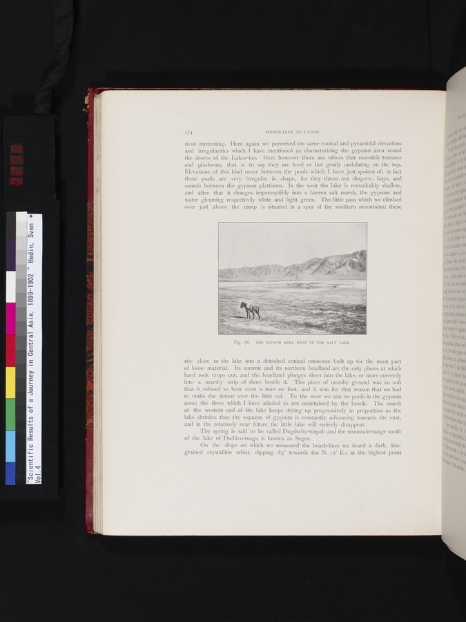
most interesting. Here again we perceived the same conical and pyramidal elevations and irregularities which I have mentioned as characterizing the gypsum area round the shores of the Lakor-tso. Here however there are others that resemble terraces and platforms, that is to say they are level or but gently undulating on the top. Elevations of this kind occur between the pools which I have just spoken of; in fact these pools are very irregular in shape, for they thrust out »fingers», bays, and sounds between the gypsum platforms. In the west the lake is remarkably shallow, and after that it changes imperceptibly into a barren salt marsh, the gypsum and water gleaming respectively white and light green. The little pass which we climbed over just above the camp is situated in a spur of the southern mountains; these
1
rise close to the lake into a detached conical eminence built up for the most part of loose material. Its summit and its northern headland are the only places at which hard rock crops out, and the headland plunges sheer into the lake, or more correctly into a marshy strip of shore beside it. This piece of marshy ground was so soft that it refused to bear even a man on foot, and it was for that reason that we had to make the detour over the little col. To the west we saw no pools in the gypsum area; the three which I have alluded to are maintained by the brook. The marsh at the western end of the lake keeps drying up progressively in proportion as the lake shrinks; thus the expanse of gypsum is constantly advancing towards the east, and in the relatively near future the little lake will entirely disappear.
The spring is said to be called Dugdschu-tiirpab and the mountain-range south of the lake of Dschivu-tsaga is known as Segor.
On the slope on which we measured the beach-lines we found a dark, fine-grained crystalline schist, dipping 83° towards the N. i 2° E.; at the highest point
Fig. 96. THE GYPSUM AREA WEST OF THE SALT LAKE.
|
Copyright (C) 2003-2019
National Institute of Informatics(国立情報学研究所)
and
The Toyo Bunko(東洋文庫). All Rights Reserved.
本ウェブサイトに掲載するデジタル文化資源の無断転載は固くお断りいたします。