国立情報学研究所 - ディジタル・シルクロード・プロジェクト
| |||||||||
|
| Scientific Results of a Journey in Central Asia, 1899-1902 : vol.4 | |
| 1899-1902年の中央アジア旅行における科学的成果 : vol.4 |
 |
WESTWARDS TO LADAK.
I 24
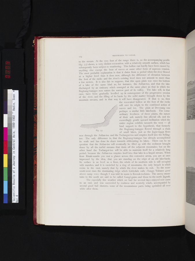
7.
Fig.
to the stream. At the very foot of the range there is, as the accompanying profile (fig. 73) shows, a very distinct excavation, with a relatively smooth surface, which has subsequently been subject to weathering. This hollow can hardly have been caused by anything else except the beat of waves or some other form of aqueous erosion. The most probable explanation is that it dates from a period when the river flowed at a higher level than it does now, although the difference of elevation between the foot of the rocks and the river's existing level does not amount to more than a few meters. It is also fair to suppose, that this open plain was once the bottom of a lake of the same kind as, for instance, the Addan-tso, and that the lake discharged by an emissary which emerged at the same place as that in which the Bogtsang-tsangpo now enters the narrow part of its valley. The lake will, in that case, have been gradually levelled up in consequence of the progressive erosion of the river, and the filling of its basin by the solid matter brought down by the mountain streams, and in that way it will have disappeared. If that is so, then
the excavated hollow at the foot of the rocks will owe its origin to the combined action of waves and ice. The plain at Devusang was perhaps a similar little lakebasin. The extraordinary levelness of these plains, the nature of their soil, namely fine alluvial silt, and the exceedingly gentle upward inclination which the entire region exhibits towards the west — all lend support to the hypothesis, that formerly
the Bogtsang-tsangpo flowed through a chain
73.
of small lakes, just as the Jagju-rapga flows
now through the Addan-tso and the Tschargut-tso and empties itself into the Sellingtso. The only difference is, that the Bogtsang-tsangpo has already accomplished its work and has done its share towards obliterating its lakes. There can be no question that the Addan-tso will eventually be filled up with the sediment brought down by all the turbid streams that drain off the adjacent mountains; but on the other hand the Tschargut-tso will be able to maintain itself for a relatively long period, because the Addan-tso empties itself into that lake in a limpid stream. When from Rinak-sumdo you cast a glance across this extensive arena, you are at once impressed by the idea, that you are standing on the edge of an old lake-basin. Its surface is as level as a floor, the whole of its southern side is still occupied with marshes, and it is encircled by a ring of mountains, the only breach in which exists in the east, namely that by which the river makes its exit. To the west-south-west rises the dominating ridge which Littledale calls »Tongo Volcano 4000' above camp 102>); though I was told its name is Erenak-tschimo. The snowy mountains to the south are said to be called Gangi-gamo and those to the north Jagnak.
The especially fine weather which we had for several days enjoyed now came to an end, and was succeeded by coolness and westerly winds, accompanied by several good hail showers, some of the mountainous parts being sprinkled all over
white after them.
|
Copyright (C) 2003-2019
National Institute of Informatics(国立情報学研究所)
and
The Toyo Bunko(東洋文庫). All Rights Reserved.
本ウェブサイトに掲載するデジタル文化資源の無断転載は固くお断りいたします。