国立情報学研究所 - ディジタル・シルクロード・プロジェクト
| |||||||||
|
| Scientific Results of a Journey in Central Asia, 1899-1902 : vol.4 | |
| 1899-1902年の中央アジア旅行における科学的成果 : vol.4 |
 |
THE NAKTSONG-TSO, ITS SOUND, ANI) ITS WESTERN HALF.
67
From the extremity of the »pier» it is only 400 n1. to the 3-meter curve, and another 380 m. brings us to the I2-meter curve, and 38o m. more to the 20-meter curve. On our way between the promontory and Camp LXXXI we sounded the following depths — 3.19, 12.6o, 19.02, 22.20, 20.03, 12.47, and 4.30 m. These relatively deep parts lie north-east of the promontory, and quite close to it, whereas throughout the whole of the region south-west of it there is only one spot in which the depth is as much as I m. This suggests, in the first place, that the »pier» clams hack the river sediment and forces it to settle on the south, as well as hinders it, at any rate to a great extent, from filling up the basin to the north; hence the relatively great depth on that side. The positions of the isobathic lines make it conceivable, that the extreme declivities of the sedimentary scree could be traced all the way to the northern shore of the lake. Were a sufficient number of soundings to be taken to the north-west of the »pier» promontory, they would probably prove, that this continues some distance towards the north-west, until it finally becomes merged in
the sedimentary scree.
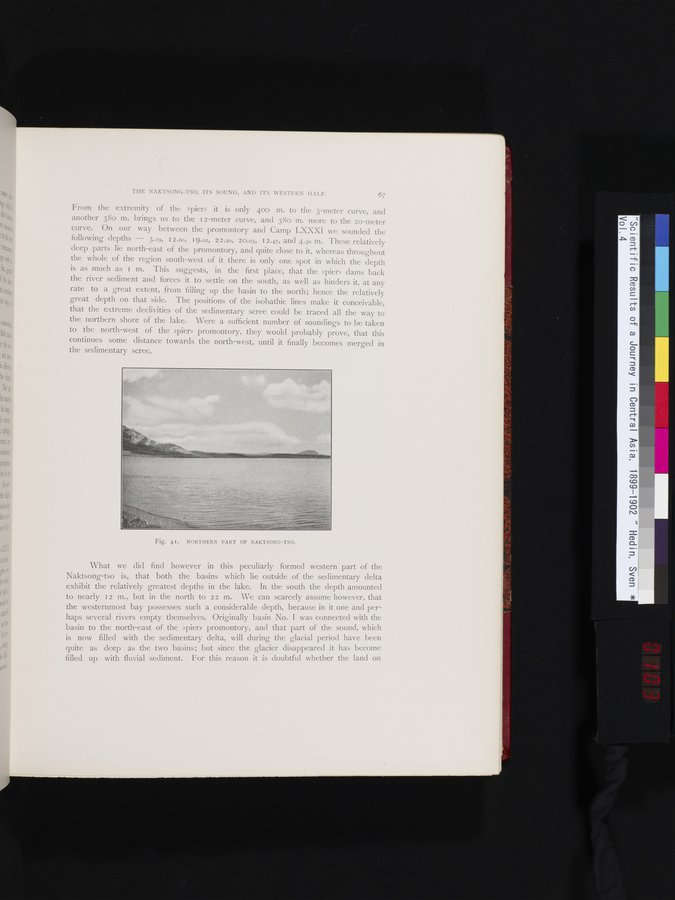
Fig. 41. NORTHERN PART OF NAKTSONG-TSO.
What we did find however in this peculiarly formed western part of the Naktsong-tso is, that both the basins which lie outside of the sedimentary delta exhibit the relatively greatest depths in the lake. In the south the depth amounted to nearly 12 m., but in the north to 22 m. We can scarcely assume however, that the westernmost bay possesses such a considerable depth, because in it one and perhaps several rivers empty themselves. Originally basin No. I was connected with the basin to the north-east of the »pier» promontory, and that part of the sound, which is now filled with the sedimentary delta, will during the glacial period have been quite as deep as the two basins; but since the glacier disappeared it has become filled up with fluvial sediment. For this reason it is doubtful whether the land on
|
Copyright (C) 2003-2019
National Institute of Informatics(国立情報学研究所)
and
The Toyo Bunko(東洋文庫). All Rights Reserved.
本ウェブサイトに掲載するデジタル文化資源の無断転載は固くお断りいたします。