国立情報学研究所 - ディジタル・シルクロード・プロジェクト
| |||||||||
|
| Scientific Results of a Journey in Central Asia, 1899-1902 : vol.4 | |
| 1899-1902年の中央アジア旅行における科学的成果 : vol.4 |
 |
FROM LEH TO THE KARA-KORUM. 40I
of the large side-glen of Jan-tschenmo, up which a road is reported to run to Chotan, uniting higher up with a track that leads from the Panggong-tso to Chotan. On the English map this side-glen is called Chang-chenmo, and its stream is shown as big as that of the Schejok, which is manifestly an exaggeration. At all events the stream that was then flowing down the glen was a mere rivulet, which contributed a fraction of the volume of the principal stream. Just above its outlet we find on the map just mentioned the words »Not passable in summer»; and the glen just there is very narrow and wild.
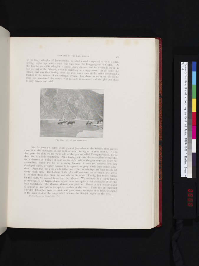
Not far from the outlet of the glen of Jan-tschenmo the Schejok river presses close in to the mountains on the right or west, forcing us to cross over it. Above that point the cliffs on the right side of the glen are called Tschagma-tschen, and at their foot is a little vegetation. After fording the river the second time we travelled for a distance on a ridge of sand on the right side of the glen, drift-sand which has accumt lated under the lee of a rocky buttress; it does not however form fully developed dunes, probably because it is exposed to gusty winds from various directions. After that the glen winds rather more, but its windings are long and do not waste much time. The bottom of the glen still continued to be broad, and across it the river flings itself from the one side to the other. Finally, just before halting for tit: night, we crossed twice over the Schejok. We encamped in a locality known as Schubga-go or Kaptar-chane, where there was quite a rich abundance of thriving bush vegetation. The absolute altitude was 3826 m. Sheets of soft ice now began to appear at intervals in the quieter reaches of the river. There too an important side-glen debouches from the west, with great snowy mountains at its head, belonging to the main crest of the range which borders the Schejok region on the west.
He din, Tourney in Central Asia. I V. 51
Fig. 324. ICE AT THE RIVER-SIDE.
|
Copyright (C) 2003-2019
National Institute of Informatics(国立情報学研究所)
and
The Toyo Bunko(東洋文庫). All Rights Reserved.
本ウェブサイトに掲載するデジタル文化資源の無断転載は固くお断りいたします。