国立情報学研究所 - ディジタル・シルクロード・プロジェクト
| |||||||||
|
| Scientific Results of a Journey in Central Asia, 1899-1902 : vol.4 | |
| 1899-1902年の中央アジア旅行における科学的成果 : vol.4 |
 |
BOATING EXCURSIONS ON THE TSCHARGUT-TSO — THE JAGJU-RAPGA. 89
consequently in a far higher degree exposed to the violence of the storms, for the great bulk of the lake lay to the west of it. And as we subsequently discovered, what indeed the meteorological journal abundantly shows, the wind that prevails with inconceivable regularity all the autumn and winter comes from the west.
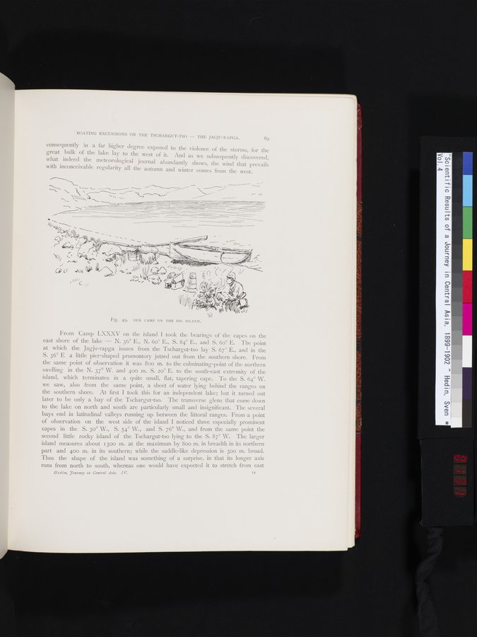
Fig. 49. OUR CAMP ON THE BIG ISLAND.
From Camp LXXXV on the island I took the bearings of the capes on the east shore of the lake — N. 36° E., N. 6o° E., S. 84° E., and S. 6o° E. The point at which the Jagju-rapga issues from the Tschargut-tso lay S. 67° E., and in the S. 36° E a little pier-shaped promontory jutted out from the southern shore. From the sanie point of observation it was 800 m. to the culminating-point of the northern swelling in the N. 37° W. and 400 m. S. 20° E. to the south-east extremity of the island, which terminates in a quite small, flat, tapering cape. To the S. 64° W. we saw, also from the same point, a sheet of water lying behind the ranges on the southern shore. At first I took this for an independent lake; but it turned out later to be only a bay of the Tschargut-tso. The transverse glens that come down to the lake on north and south are particularly small and insignificant. The several bays end in latitudinal valleys running up between the littoral ranges. From a point of observation on the west side of the island I noticed three especially prominent capes in the S. 3o° W., S. 54° W., and S. 76° W., and from the same point the second little rocky island of the Tschargut-tso lying to the S. 87° W. The larger island measures about 1300 m. at the maximum by 800 m. in breadth in its northern part and 400 m. in its southern; while the saddle-like depression is 300 m. broad. Thus the shape of the island was something of a surprise, in that its longer axis runs from north to south, whereas one would have expected it to stretch from east
Hedin. Tourney in Central Asia. IV.
I2
`\
„ ~ ~ • •~..
, y ~
~1//
y
|
Copyright (C) 2003-2019
National Institute of Informatics(国立情報学研究所)
and
The Toyo Bunko(東洋文庫). All Rights Reserved.
本ウェブサイトに掲載するデジタル文化資源の無断転載は固くお断りいたします。