国立情報学研究所 - ディジタル・シルクロード・プロジェクト
| |||||||||
|
| Scientific Results of a Journey in Central Asia, 1899-1902 : vol.4 | |
| 1899-1902年の中央アジア旅行における科学的成果 : vol.4 |
 |
562 . OROGRAPHY OF CENTRAL TIBET.
Besides these four main ranges there occur between them several more or less short, broken ranges of secondary rank. But the determination of the mean altitudes of the latitudinal valleys that run between the four main ranges is on the other hand more difficult, partly because their character as true latitudinal valleys is frequently masked by these secondary ranges or by ramifications and spurs of the main ranges, and partly because the lowest altitudes measured between two main ranges along a given meridional route do not of necessity coincide with the actual bottom of the latitudinal valley, for the choice of a camping-ground was generally determined not by considerations of altitude, but by the presence of water and grazing. Let us however, subject to this warning, take the lowest values for the three latitudinal valleys separating the four main ranges; then in the valley which comes between Arka-tagh I and Arka-tagh II, and proceeding from west to east, we have the altitudes 4880, 4750, 4733, and 4719 m., giving a mean elevation of 4770 in.; in the valley which intervenes between Arka-tagh II and Arka-tagh III we have altitudes of 4878, 4984, 4948, 5069, 5050, and 4879 m., giving a mean elevation of 4968 m.; and in the third valley, between Arka-tagh III and Arka-tagh IV, we have 5055, 5086, 498o, and 5028 m., giving a mean altitude of 5037 m.
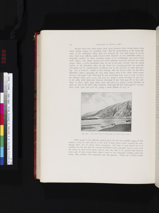
Fig. 366. VIEW FROM THE GLACIER-RIVER OF CAMP XXVIII, 1900.
With regard to the altitudes quoted above for the four parallel ranges of this system, it may be said, that as a rule each of them grows lower towards the east, though there are of course local exceptions. And that it must indeed be so is explained by the fact that the several meridional routes naturally seek to cross over the ranges at their lowest parts, and we may also take it for granted that between every pair of these routes there exists a more or less important swelling, each crest being often mantled with perpetual snow and glaciers. While one of these routes
|
Copyright (C) 2003-2019
National Institute of Informatics(国立情報学研究所)
and
The Toyo Bunko(東洋文庫). All Rights Reserved.
本ウェブサイトに掲載するデジタル文化資源の無断転載は固くお断りいたします。