国立情報学研究所 - ディジタル・シルクロード・プロジェクト
| |||||||||
|
| Scientific Results of a Journey in Central Asia, 1899-1902 : vol.4 | |
| 1899-1902年の中央アジア旅行における科学的成果 : vol.4 |
 |
| 584 | OROGRAPHY OF CENTRAL TIBET. | |
| instance, on the basis of all the routes that fall between 86° and 92° we seek to estimate the extent of the eastward or westward slope of the internal-drainage area of Tibet, or do ascertain whether it maintains on the whole a uniform level, we find it perfectly impossible to arrive at any trustworthy result by comparing the different routes together. For instance, I am not for one moment tempted to corn-pare Bonvalot's altitudes with my own for to do so would lead to the perfectly absurd result, that, because his altitudes are all considerably higher than mine, the country from the meridian at which he travelled consequently sinks down, on both east and west, to my neighbouring routes. | ||
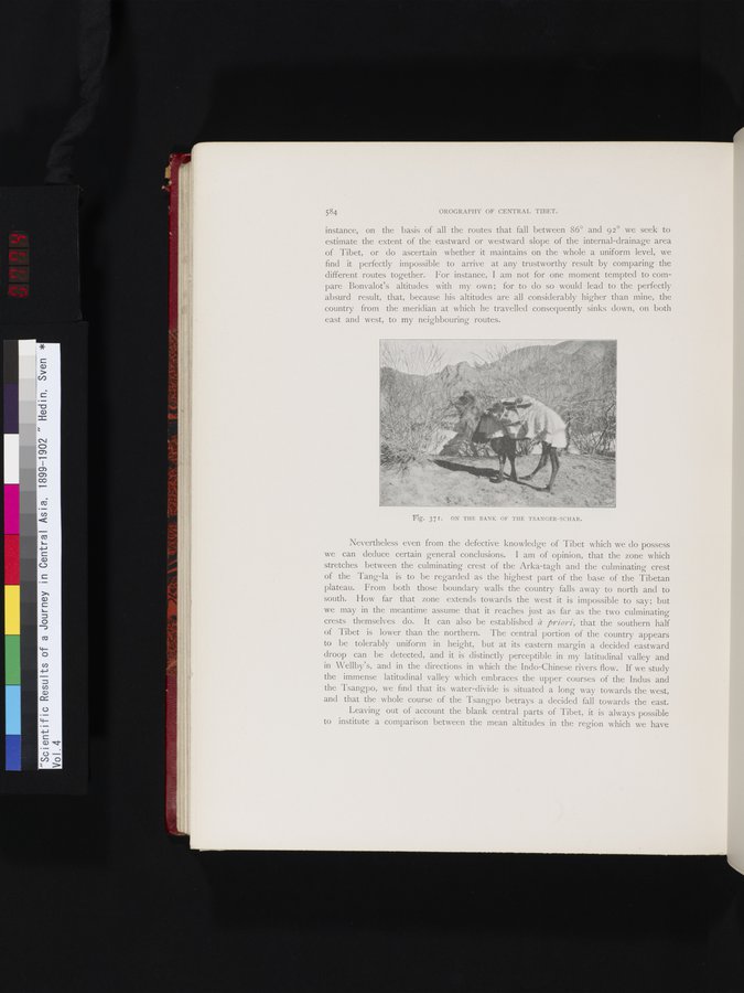
| Fig. 371. ON THE BANK OF THE TSANGER-SCHAR. | ||
| Nevertheless even from the defective knowledge of Tibet which we do possess we can deduce certain general conclusions. I am of opinion, that the zone which stretches between the culminating crest of the Arka-tagh and the culminating crest of the Tang-la is to be regarded as the highest part of the base of the Tibetan plateau. From both those boundary walls the country falls away to north and to south. How far that zone extends towards the west it is impossible to say; but we may in the meantime assume that it reaches just as far as the two culminating crests themselves do. It can also be established à priori, that the southern half of Tibet is lower than the northern. The central portion of the country appears to be tolerably uniform in height, but at its eastern margin a decided eastward droop can be detected, and it is distinctly perceptible in my latitudinal valley and in Wellby's, and in the directions in which the Indo-Chinese rivers flow. If we study the immense latitudinal valley which embraces the upper courses of the Indus and the Tsangpo, we find that its water-divide is situated a long way towards the west, and that the whole course of the Tsangpo betrays a decided fall towards the east. Leaving out of account the blank central parts of Tibet, it is always possible to institute a comparison between the mean altitudes in the region which we have | ||
|
Copyright (C) 2003-2019
National Institute of Informatics(国立情報学研究所)
and
The Toyo Bunko(東洋文庫). All Rights Reserved.
本ウェブサイトに掲載するデジタル文化資源の無断転載は固くお断りいたします。