国立情報学研究所 - ディジタル・シルクロード・プロジェクト
| |||||||||
|
| Scientific Results of a Journey in Central Asia, 1899-1902 : vol.4 | |
| 1899-1902年の中央アジア旅行における科学的成果 : vol.4 |
 |
258 WESTWARDS TO LADAK.
in fig. 153. The channels made by recently flowing water in the bottom of this river-bed are disproportionately small in relation to the dimensions of the bed itself. The aqueous force which shaped the left-hand terrace has disappeared, and it is only transient brooks which now seek their way down it. The greater part of the bottom is covered with coarse sand, dark in colour, and swept up into low ridges, or rudimentary dunes. In the preceding desiccated lake we also saw something of the same kind.
In the north-west, at the foot of
the northern range, we perceived three black tents. Doubling a prominent
headland of the southern range, we found ourselves in the throat of a con-
; siderable latitudinal valley, extending
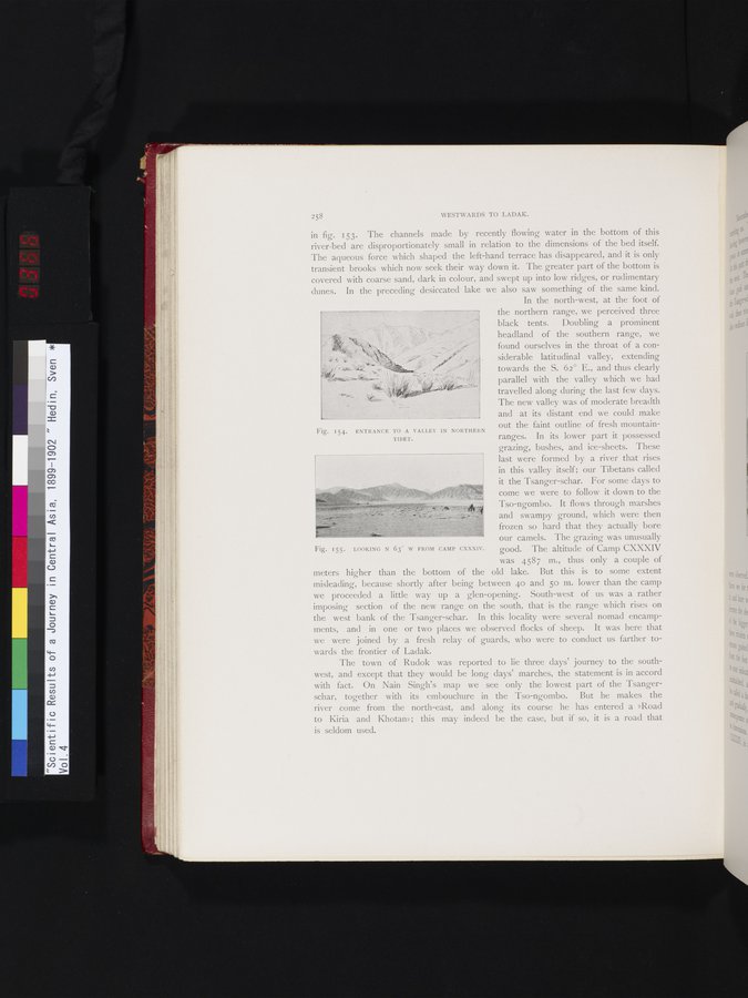
towards the S. 62° E., and thus clearly parallel with the valley which we had travelled along during the last few days. The new valley was of moderate breadth and at its distant end we could make out the faint outline of fresh mountain-ranges. In its lower part it possessed grazing, bushes, and ice-sheets. These last were formed by a river that rises in this valley itself; our Tibetans called it the Tsanger-schar. For some days to come we were to follow it down to the Tso-ngombo. It flows through marshes and swampy ground, which were then frozen so hard that they actually bore our camels. The grazing was unusually good. The altitude of Camp CXXXIV was 4587 m., thus only a couple of
meters higher than the bottom of the old lake. But this is to some extent misleading, because shortly after being between 40 and 5o m. lower than the camp we proceeded a little way up a glen-opening. South-west of us was a rather imposing section of the new range on the south, that is the range which rises on the west bank of the Tsanger-schar. In this locality were several nomad encampments, and in one or two places we observed flocks of sheep. It was here that we were joined by a fresh relay of guards, who were to conduct us farther towards the frontier of Ladak.
The town of Rudok was reported to lie three days' journey to the southwest, and except that they would be long days' marches, the statement is in accord with fact. On Nain Singh's map we see only the lowest part of the Tsangerschar, together with its embouchure in the Tso-ngombo. But he makes the river come from the north-east, and along its course he has entered a »Road to Kiria and Khotan»; this may indeed be the case, but if so, it is a road that is seldom used.
Fig. 154. ENTRANCE TO A VALLEY IN NORTHERN
TIBET.
Fig. 155.
LOOKING N 63" W FROM CAMP CXXXIV.
|
Copyright (C) 2003-2019
National Institute of Informatics(国立情報学研究所)
and
The Toyo Bunko(東洋文庫). All Rights Reserved.
本ウェブサイトに掲載するデジタル文化資源の無断転載は固くお断りいたします。