国立情報学研究所 - ディジタル・シルクロード・プロジェクト
| |||||||||
|
| Scientific Results of a Journey in Central Asia, 1899-1902 : vol.4 | |
| 1899-1902年の中央アジア旅行における科学的成果 : vol.4 |
 |
300 WESTWARDS TO LADAK.
1i~
The profile shows also the varying thickness of the ice-sheet : it is seen to be thickest under the northern shore and thins out towards the edge of the open lane. Beyond it comes another sheet of ice, probably thin, which in some places reaches all the way to the southern shore; but just in the direction of the line of sounding it is interrupted by a small open belt of water quite close to the shore, and it too is no doubt caused by springs. A single temperature profile like this is however of no great value; all it does is to show up certain local phenomena, and to prove that the irregularity in the formation of the ice is in great part caused by springs. It would be of much greater interest to possess the profiles of a great number of lines across the lake, both in winter and in summer. It is only upon the basis of such a supply of data that we should be able to deduce reliable and illustrative conclusions with regard to the currents and the temperature.
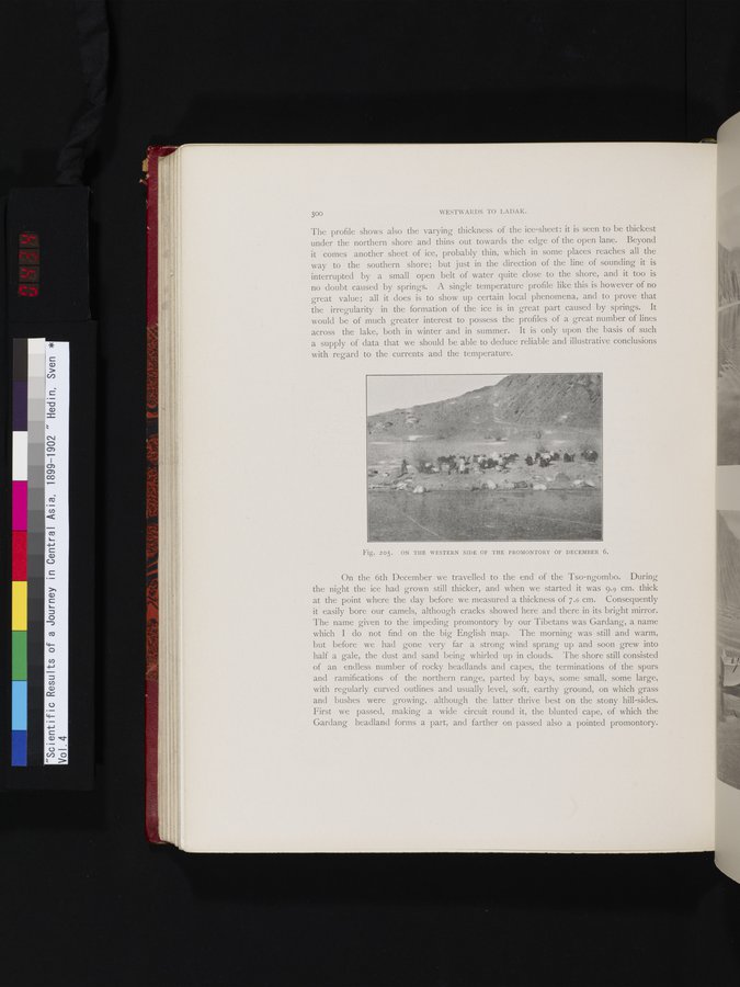
Fig. 205. ON THE WESTERN SIDE OF THE PROMONTORY OF DECEMBER 6.
On the 6th December we travelled to the end. of the Tso-ngombo. During the night the ice had grown still thicker, and when we started it was 9.9 cm. thick at the point where the day before we measured a thickness of 7.6 cm. Consequently it easily bore our camels, although cracks showed here and there in its bright mirror. The name given to the impeding promontory by our Tibetans was Gardang, a name which I do not find on the big English map. The morning was still and warm, but before we had gone very far a strong wind sprang up and soon grew into half a gale, the dust and sand being whirled up in clouds. The shore still consisted of an endless number of rocky headlands and capes, the terminations of the spurs and ramifications of the northern range, parted by bays, some small, some large, with regularly curved outlines and usually level, soft, earthy ground, on which grass and bushes were growing, although the latter thrive best on the stony hill-sides. First we passed, making a wide circuit round it, the blunted cape, of which the Gardang headland forms a part, and farther on passed also a pointed promontory.
|
Copyright (C) 2003-2019
National Institute of Informatics(国立情報学研究所)
and
The Toyo Bunko(東洋文庫). All Rights Reserved.
本ウェブサイトに掲載するデジタル文化資源の無断転載は固くお断りいたします。