国立情報学研究所 - ディジタル・シルクロード・プロジェクト
| |||||||||
|
| Scientific Results of a Journey in Central Asia, 1899-1902 : vol.4 | |
| 1899-1902年の中央アジア旅行における科学的成果 : vol.4 |
 |
542
OROGRAPHY OF CENTRAI. TIBET.
from what is the most important of all, namely the general map on the scale of 1 : I ,000,000, on which every well-known itinerary that has hitherto been made across Tibet will be traced. It is self-evident, that with such a map to help one, it would be far easier to follow the course of the mountain-ranges than by instituting provisional comparisons between the maps of the different explorers. And yet one other practical reason! I intend within a month or two to start upon a fresh journey to the unknown parts of Tibet, during the course of which I hope to be able to fill up many of the more serious gaps that now confront us. In view of this, it will be better to postpone my critical and final analysis until after my return home from my new journey, when the result cannot fail to be at all events invested with greater thoroughness and completeness. What I have to say in the following pages must therefore be regarded as merely a preliminary attempt or sketch of a characteristic,
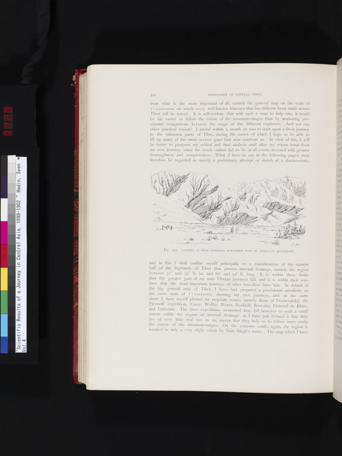
Fig. 357. LOOKING SE FROM BOGHANA; NORTHERN FOOT OF KWEN-LUN MOUNTAINS.
and in this I shall confine myself principally to a consideration of the eastern half of the highlands of Tibet that possess internal drainage, namely the region between 31° and 39° N. lat. and 86° and 92° E. long. It is within these limits that the greater part of my own Tibetan journeys fall, and it is within their confines that the most important journeys of other travellers have lain. In default of the big general map of Tibet, I have had prepared a provisional substitute on the same scale of 1 : 1,000,000, showing my own journeys, and on the same sheet I have myself plotted the requisite routes, namely those of Prschevalskij, the Pjevtsoff expedition, Carey, Wellby, Bower, Rockhill, Bonvalot, Dutreuil de Rhins, and Littledale. The three expeditions mentioned first, fall however to such a small extent within the region of internal drainage as I have just defined it that they are of very little real use to us, except that they help us to follow more easily the course of the mountain-ranges. On the extreme south, again, the region is touched to only a very slight extent by Nain Singh's route. The map which I have
'
Vh~
fi3~~' ~ ~'4►~
~~~'~_;~ ` '
'
~
~-•~ _ - ,--;
~~. . \1K' •.
-_r---~ ~i-a ~~•~ •r ~~ ~•~. •"2-4
~~•- .
A", ...
|
Copyright (C) 2003-2019
National Institute of Informatics(国立情報学研究所)
and
The Toyo Bunko(東洋文庫). All Rights Reserved.
本ウェブサイトに掲載するデジタル文化資源の無断転載は固くお断りいたします。