国立情報学研究所 - ディジタル・シルクロード・プロジェクト
| |||||||||
|
| Scientific Results of a Journey in Central Asia, 1899-1902 : vol.4 | |
| 1899-1902年の中央アジア旅行における科学的成果 : vol.4 |
 |
272 WESTWARDS TO LADAK.
had a temperature of 10.7° and 9.8° respectively; it was these that kept the lanes open through the ice. Between the island and the shore, the ice in the thinnest places was nevertheless 12 to 14 cm. thick. It is said to last to the end of March and generally to break up pretty quickly. In winter the west wind prevails and generally blows hard, often bringing with it copious falls of snow. On 29th November, whilst we were resting at this place, the sky became heavily overcast at I I a.m., the clouds driving furiously east, and an hour later there burst upon us a tempest from the west, which whirled up dense clouds of dust and sand. But by 9 p.m. the sky was almost clear, the clouds having for the most part blown away again.
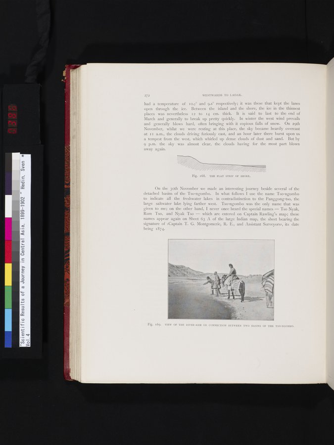
On the 3oth November we made an interesting journey beside several of the detached basins of the Tso-ngombo. In what follows I use the name Tso-ngombo to indicate all the freshwater lakes in contradistinction to the Panggong-tso, the large saltwater lake lying farther west. Tso-ngombo was the only name that was given to me; on the other hand, I never once heard the special names — Tso Nyak, Rum Tso, and Nyak Tso — which are entered on Captain Rawling's map; these names appear again on Sheet 63 A of the large Indian map, the sheet bearing the signature of »Captain "Is. G. Montgomerie, R. E., and Assistant Surveyors», its date being 1874.
Fig. 169. VIEW OF THE RIVER-ARM OR CONNECTION BETWEEN TWO BASINS OF THE TSO-NGOMBO.
Fig. 168. THE FLAT STRIP OF SHORE.
|
Copyright (C) 2003-2019
National Institute of Informatics(国立情報学研究所)
and
The Toyo Bunko(東洋文庫). All Rights Reserved.
本ウェブサイトに掲載するデジタル文化資源の無断転載は固くお断りいたします。