国立情報学研究所 - ディジタル・シルクロード・プロジェクト
| |||||||||
|
| Scientific Results of a Journey in Central Asia, 1899-1902 : vol.4 | |
| 1899-1902年の中央アジア旅行における科学的成果 : vol.4 |
 |
el
THE TSOLLA-RING-TSO AND THE LUMA-RING-TSO. 215
those parts of the lake-bottom which had been recently overflowed. Nevertheless the boundary between the two is very sharply drawn and very distinct. Both the Lumaring-tso and the Tsolla-ring-tso are constantly shrinking, and oscillate but slightly in the different seasons. At the time when we saw them they had pretty certainly not reached their lowest level, but they would go on dropping lower and lower during the winter and spring, and would rise again after the first rains fell in the summer.
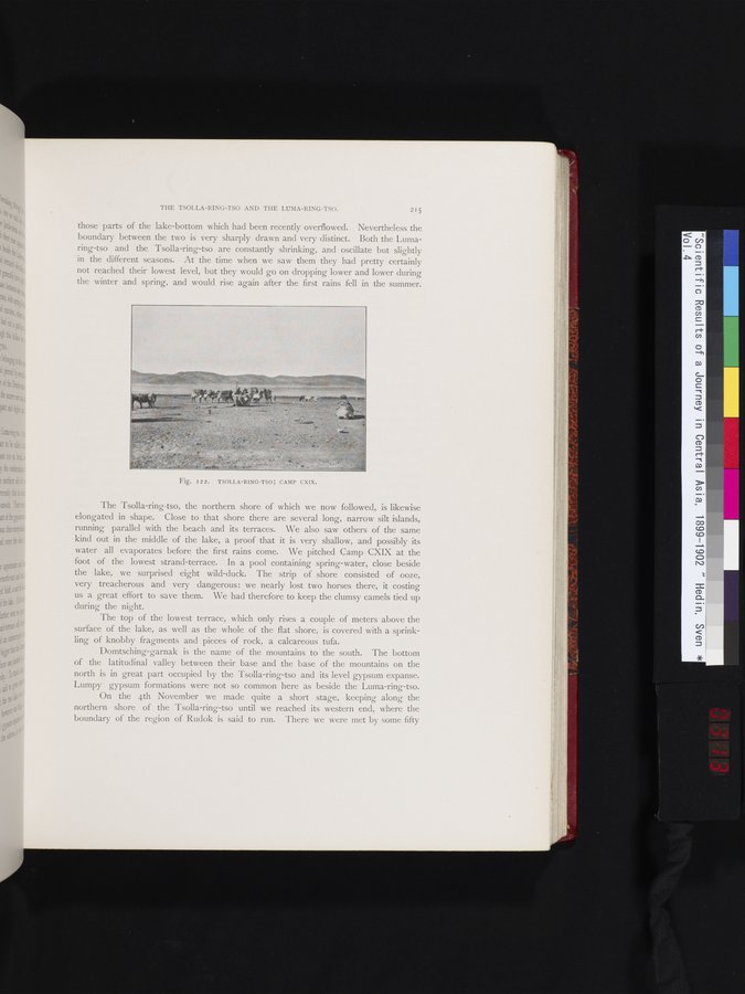
The Tsolla-ring-tso, the northern shore of which we now followed, is likewise elongated in shape. Close to that shore there are several long, narrow silt islands, running parallel with the beach and its terraces. We also saw others of the same kind out in the middle of the lake, a proof that it is very shallow, and possibly its water all evaporates before the first rains come. We pitched Camp CXIX at the foot of the lowest strand-terrace. In a pool containing spring-water, close beside the lake, we surprised eight wild-duck. The strip of shore consisted of ooze, very treacherous and very dangerous : we nearly lost two horses there, it costing us a great effort to save them. We had therefore to keep the clumsy camels tied up during the night.
The top of the lowest terrace, which only rises a couple of meters above the surface of the lake, as well as the whole of the flat shore, is covered with a sprinkling of knobby fragments and pieces of rock, a calcareous tufa.
Domtsching-garnak is the name of the mountains to the south. The bottom of the latitudinal valley between their base and the base of the mountains on the north is in great part occupied by the Tsolla-ring-tso and its level gypsum expanse. Lumpy gypsum formations were not so common here as beside the Luma-ring-tso.
On the 4th November we made quite a short stage, keeping along the northern shore of the Tsolla-ring-tso until we reached its western end, where the boundary of the region of Rudok is said to run. There we were met by some fifty
Fig. 122. TSOLLA-RING-TSO; CAMP CXIX.
|
Copyright (C) 2003-2019
National Institute of Informatics(国立情報学研究所)
and
The Toyo Bunko(東洋文庫). All Rights Reserved.
本ウェブサイトに掲載するデジタル文化資源の無断転載は固くお断りいたします。