国立情報学研究所 - ディジタル・シルクロード・プロジェクト
| |||||||||
|
| Scientific Results of a Journey in Central Asia, 1899-1902 : vol.4 | |
| 1899-1902年の中央アジア旅行における科学的成果 : vol.4 |
 |
242 WESTWARDS TO LADAK.
continues along their foot towards the west. Its steep escarpments and not inconsiderable depth show that vast quantities of water do sometimes pour down it. After emerging from the valley, we were able to travel in almost a straight line diagonally across a self-contained basin with a gentle slope. There was no lake in it, but the ground in the middle was white, so that we were once again undoubtedly in the basin of an old extinct lake. As we advanced towards the north-west, -so did the country continue to open out more and more. To the S. 88° W. rose an imposing peak (A3), with some snow on it, and beyond that towered up another
higher still. From their locality comes a deeply trenched glen, which unites with our brook. In the south-west appeared the extreme western promontory (A4) of the range nearest to us on the south. In the N. 5° E. was a snowy peak (03), which remained a long time in sight. Several watercourses issue out of the mountains on the right and enter the main channel, which itself runs down to the former lake; this we passed on the left. The most important
watercourse entered what looked like an old bay of the lake. This, which is bordered by terraces, stretches towards the S. 68° W. into the lowest part of the depression. This locality is called Gamschung; the bluff crowned by A4 is called Barik-marlak, a mountainous region to the south-east Hurmi-tsava, and the mountain 03 Arupdol.
The ground was hard and covered with fine, thick gravel, but seldom any grass. Farther on we came across dead
and shrivelled japkak scrub, which provided us with first-rate fuel. After that the ground was again bare, and consisted of grey-blue clay, undulating and furrowed by an endless number of eroded watercourses. At intervals there occurred small terraces, which by their positions and directions betrayed that they belonged to the lake. Very probably the belt of japkak once owed its origin to the waters of the lake, the plants having died out since the moisture retreated and left them. At the time of our visit not a single bush was alive. If my assumption is correct, the process of desiccation must have proceeded very rapidly. Yet there is always this possibility left, that the water which gave life to the japkak bushes came directly from the mountains, though in that case we should expect to find at any rate some plants still alive. In the N. 70° E. we beheld a fresh latitudinal valley of considerable size, and at the head of it, in N. 8o° E., was a flat snow-capped mountain, much bigger than the one I have just mentioned, for it overtops every
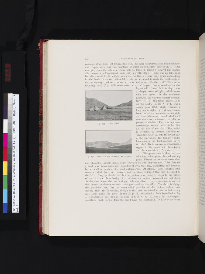
Fig. 138. LOOKING N 6o° W FROM
CAMP CXXIX.
Fig. 137. CAMP CXXIX.
|
Copyright (C) 2003-2019
National Institute of Informatics(国立情報学研究所)
and
The Toyo Bunko(東洋文庫). All Rights Reserved.
本ウェブサイトに掲載するデジタル文化資源の無断転載は固くお断りいたします。