National Institute of Informatics - Digital Silk Road Project
| |||||||||
|
| Memoir on Maps of Chinese Turkistan and Kansu : vol.1 |
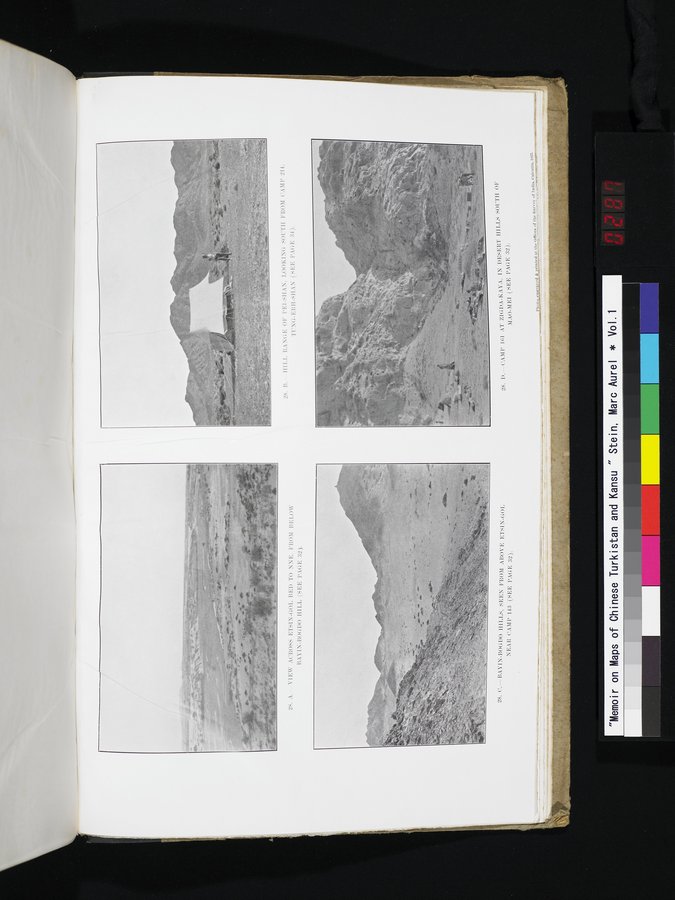 |
| VIEW ACROSS ETSIN-GOL BED TO NNE. FROM BELOW BAYIN-BOGDO HILL (SEE PAGE 32). | |
| HILL RANGE OF PEI-SHAN. LOOKING SOUTH FROM CAMP 214, TUNG-ERH-SHAN (SEE PAGE 34). | |
| BAYIN-BOGDO HILLS, SEEN FROM ABOVE ETSIN-GOL NEAR CAMP 143 (SEE PAGE 32). | |
| CAMP 161 AT ZIGDA-KAYA, IN DESERT HILLS SOUTH OF MAO-MEI (SEE PAGE 32). |
|
Copyright (C) 2003-2019 National Institute of Informatics and The Toyo Bunko. All Rights Reserved.