THE KODAJ-DARJA AND THE KASCHGAR-DARJA. 75
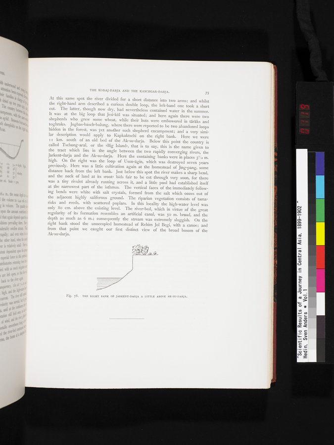
At this same spot the river divided for a short distance into two arms; and whilst the right-hand arm described a curious double loop, the left-hand one took a short cut. The latter, though now dry, had nevertheless contained water in the summer. It was at the big loop that Jesi-köl was situated; and here again there were two shepherds who grew some wheat, while their huts were embowered in täräks and toghraks. Jughas-basch-bulung, where there were reported to be two abandoned loops hidden in the forest, was yet another such shepherd encampment; and a very similar description would apply to Kapkaktschi on the right bank. Here we were I I km. south, of an old bed of the Ak-su-darja. Below this point the country is called Tschong-aral, or the »Big Island», that is to say, this is the name given to the tract which lies in the angle between the two rapidly converging rivers, the Jarkent-darja and the Ak-su-darja. Here the containing banks were in places 31/2 m. high. On the right was the loop of Usun-ägin, which was destroyed seven years previously. Here was a little cultivation again at the homestead of Jing-pang, some distance back from the left bank. Just below this spot the river makes a sharp bend, and the neck of land at its »root» bids fair to be cut through very soon, for there was a tiny rivulet already running across it, and a little pool had established itself at the narrowest part of the isthmus. The vertical faces of the immediately following bends were white with salt crystals, formed from the salt which oozes out of the adjacent highly saliferous ground. The riparian vegetation consists of tamarisks and reeds, with scattered poplars. In this locality the high-water level was only 8o cm. above the existing level. The river-bed, which in virtue of the great regularity of its formation resembles an artificial canal, was 5o m. broad, and the depth as much as 6 m.; consequently the stream was extremely sluggish. On the right bank stood the unoccupied homestead of Rehim Jol Begi, with a canoe; and from that point we caught our first distinct view of the broad bosom of the Ak-su-darja.