国立情報学研究所 - ディジタル・シルクロード・プロジェクト
| |||||||||
|
| Scientific Results of a Journey in Central Asia, 1899-1902 : vol.1 | |
| 1899-1902年の中央アジア旅行における科学的成果 : vol.1 |
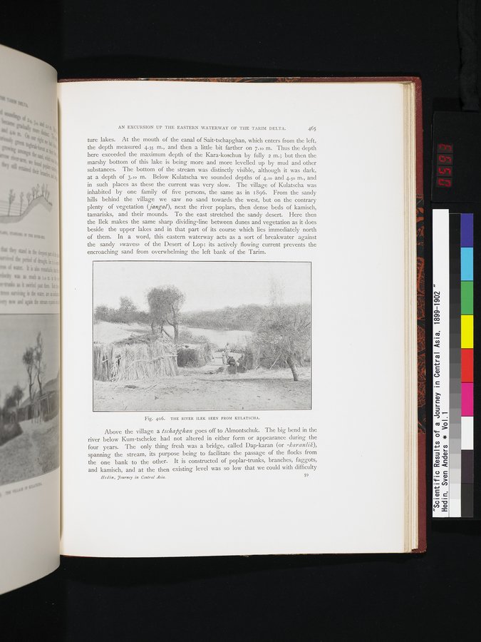 |
| クラチャから見たイレク川。THE RIVER ILEK SEEN FROM KULATSCHA. |
AN EXCURSION UP THE EASTERN WATERWAY OF THE TARIM DELTA. 465
ture lakes. At the mouth of the canal of Sait-tschapghan, which enters from the left, the depth measured 4.35 m., and then a little bit farther on 7.10 m. Thus the depth here exceeded the maximum depth of the Kara-koschun by fully 2 m.; but then the marshy bottom of this lake is being more and more levelled up by mud and other substances. The bottom of the stream was distinctly visible, although it was dark, at a depth of 3.10 m. Below Kulatscha we sounded depths of 4.10 and 4.50 In., and in such places as these the current was very slow. The village of Kulatscha was inhabited by one family of five persons, the same as in 1896. From the sandy hills behind the village we saw no sand towards the west, but on the contrary plenty of vegetation (jangal), next the river poplars, then dense beds of kamisch, tamarisks, and their mounds. To the east stretched the sandy desert. Here then the Ilek makes the same sharp dividing-line between dunes and vegetation as it does beside the upper lakes and in that part of its course which lies immediately north of them. In a word, this eastern waterway acts as a sort of breakwater against the sandy »waves» of the Desert of Lop : its actively flowing current prevents the encroaching sand from overwhelming the left bank of the Tarim.
Fig. 406. THE RIVER ILEK SEEN FROM KULATSCHA.
Above the village a ischapghan goes off to Almontschuk. The big bend in the river below Kum-tscheke had not altered in either form or appearance during the four years. The only thing fresh was a bridge, called Dap-karan (or -karanlik), spanning the stream, its purpose being to facilitate the passage of the flocks from the one bank to the other. It is constructed of poplar-trunks, branches, faggots, and kamisch, and at the then existing level was so low that we could with difficulty
Hedin, Tourney in Central Asia. 59
|
Copyright (C) 2003-2019
National Institute of Informatics(国立情報学研究所)
and
The Toyo Bunko(東洋文庫). All Rights Reserved.
本ウェブサイトに掲載するデジタル文化資源の無断転載は固くお断りいたします。