国立情報学研究所 - ディジタル・シルクロード・プロジェクト
| |||||||||
|
| Scientific Results of a Journey in Central Asia, 1899-1902 : vol.1 | |
| 1899-1902年の中央アジア旅行における科学的成果 : vol.1 |
 |
| 古い浸食された台地。Old erosion terrace. | |
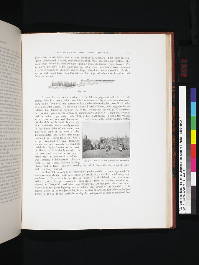
| アト・タルマ村の家屋。HOUSE IN THE VILLAGE OF AT-TARMA. |
THE RETURN JOURNEY FROM ARGHAN TO JANGI-KÖL. 435
after it had shortly before crossed over the river by a bridge. Then came an elongated boldschemal, Bos-köl, surrounded by thick reeds and containing water. The track hugs closely its northern bank, keeping along its former erosion terrace, II/z m. above the level of the water (see fig. 378). Now the existing river possesses no erosion terrace so distinctly and so deeply carved as this, nor could a boldschemal of such depth have been formed except at a period when this channel carried the main stream.
r. ~ , r,rr• u-•r , ~ ~ ~ ~. ~ „
IIIIïI(i~ ~ï,;rjl~,!~~!ilü~j,~~~;,Rl;~!!;(►i~~~;,~~j//~~i~=-.
i/'
Fig. 378.
A short distance to the north-east is the lake of Julghunluk-köl. At Barkeniarghaji there is a masar, with a sepulchral monument of clay of an unusual character, being in the form of a small terrace, with a number of semicircular curves like handles on its horizontal surface. To the south is a small patch of dunes, bound together by vegetation and known as Kara-kir. After that we reached the village of Ak-tarma, the principal place in the tabdsi, or administrative district, of Ullugh-köl, which is said to embrace 3o ujlik. Eight of these are in Ak-tarma. Beyond this village, again, there are some old abandoned river-loops, some with, others without, water.
On the right of the track lies the lake
of Karaunelik-köl, almost exactly opposite
to the Tarim lake of the same name.
The next bend of the river is called
Tarascha-kotan, and in the same neigh-
bourhood is Tungan-tüschken. On a
steppe diversified by small tamarisks,
without the usual mounds, we found the
burial-place (ghuristanlik or saratlik)
of Masar, as it is simply called. The
soil hereabouts was everywhere impreg-
nated with salt (schor); it is evident it
was formerly a lake-bottom. To the
Fig. 379. HOUSE IN THE VILLAGE OF AK-TARMA.
north of the Tarim stretches a long,
narrow belt of forest (poplars), marking beyond all doubt the site of an old riverbed, now long vanished.
At Idek-ilek, a river-bend encircled by poplar woods, the great high-road continues on towards the north-west, whilst we struck into a smaller track leading west-south-west. North of this lies the salt pool of Avulluni-daschi, and near it is a solitary grove of poplars known as Haser-ölgen. Here too are the two cultivated districts of Tongusluk and Nias Supa Bajning-uji. At the point where we turned away from the great highway we crossed the little stream of the Idek-ilek. This, known higher up as the Jaman-ilek, is said to start at Arelisch, just below Aghis (see above, p. 16o ). In this particular locality the hydrography is more complicated than
|
Copyright (C) 2003-2019
National Institute of Informatics(国立情報学研究所)
and
The Toyo Bunko(東洋文庫). All Rights Reserved.
本ウェブサイトに掲載するデジタル文化資源の無断転載は固くお断りいたします。