国立情報学研究所 - ディジタル・シルクロード・プロジェクト
| |||||||||
|
| Scientific Results of a Journey in Central Asia, 1899-1902 : vol.1 | |
| 1899-1902年の中央アジア旅行における科学的成果 : vol.1 |
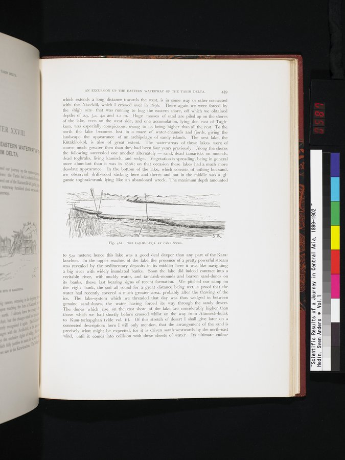 |
| 第32キャンプのライリク・ダリヤ。THE LAJLIK-DARJA AT CAMP XXXII. |
AN EXCURSION UP THE EASTERN WATERWAY OF THE TARIM DELTA. 459
which extends a long distance towards the west, is in some way or other connected with the Nias-köl, which I crossed over in 1896. There again we were forced by the »high sea» that was running to hug the eastern shore, off which we obtained depths of 2.5, 3.0, 4.0 and 2.6 m. Huge masses of sand are piled up on the shores of the lake, even on the west side, and one accumulation, lying due east of Taghkum, was especially conspicuous, owing to its being higher than all the rest. To the north the lake becomes lost in a maze of water-channels and fjords, giving the landscape the appearance of an archipelago of sandy islands. The next lake, the Kötäklik-köl, is also of great extent. The water-areas of these lakes were of course much greater then than they had been four years previously. Along the shores the following succeeded one another alternately — sand, dead tamarisks on mounds, dead toghraks, living kamisch, and sedge. Vegetation is spreading, being in general more abundant than it was in 1896; on that occasion these lakes had a much more desolate appearance. In the bottom of the lake, which consists of nothing but sand, we observed drift-wood sticking here and there; and out in the middle was a gigantic toghrak-trunk lying like an abandoned wreck. The maximum depth amounted
Fig. 402. THE LAJLIK-DARJA AT CAMP XXXII.
to 5.5o meters; hence this lake was a good deal deeper than any part of the Karakoschun. In the upper reaches of the lake the presence of a pretty powerful stream was revealed by the sedimentary deposits in its middle; here it was like navigating a big river with widely inundated banks. Soon the lake did indeed contract into a veritable river, with muddy water, and tamarisk-mounds and barren sand-dunes on its banks, these last bearing signs of recent formation. We pitched our camp on the right bank, the soil all round for a great distance being wet, a proof that the water had recently covered a much greater area, probably after the thawing of the ice. The lake-system which we threaded that day was thus wedged in between genuine sand-dunes, the water having forced its way through the sandy desert. The dunes which rise on the east shore of the lake are considerably higher than those which we had shortly before crossed whilst on the way from Altimisch-bulak to Kum-tschapghan (vide vol. IO. Of this stretch of desert I shall give later on a connected description; here I will only mention, that the arrangement of the sand is precisely what might be expected, for it is driven south-westwards by the north-east wind, until it comes into collision with these sheets of water. Its ultimate endea-
444, ~
-
.-.._, . ~~_/H'.~.:.•:.'J7tt~.✓t
._•
_
~
li +11'~` _
itiuiI - - - ~1
l
|
Copyright (C) 2003-2019
National Institute of Informatics(国立情報学研究所)
and
The Toyo Bunko(東洋文庫). All Rights Reserved.
本ウェブサイトに掲載するデジタル文化資源の無断転載は固くお断りいたします。