国立情報学研究所 - ディジタル・シルクロード・プロジェクト
| |||||||||
|
| Scientific Results of a Journey in Central Asia, 1899-1902 : vol.1 | |
| 1899-1902年の中央アジア旅行における科学的成果 : vol.1 |
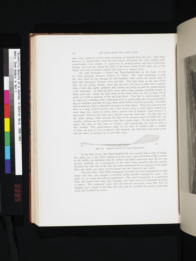 |
| タナ・バグラディ・クル湖の断面図。VERTICAL SECTION OF TANA-BAGHLADI-KÖL. |
232 THE LAKES BESIDE THE LOWER TARIN.
after they ceased to receive fresh accessions of material from the east. One thing however is incontestable, that the dune-length, throughout the entire stretch under consideration, rises steeply, is square-cut in vertical section, and faces north-east, looking out over the almost flat delta of the lower Tarim in the same way as the façade of a row of houses confront the quay in a seaport town.
On loth December I visited the Tana-baghladi-köl, or the Lake cut off by Tana (properly however »closed» by Tana). The canal connecting it with the river finds its way through the thin kamisch, which covers the narrow strip of land that intervenes between river and lake. The high dunes on the east of the lake do not plunge directly down into the river, but have at their foot a narrow strip of firm clay, partly sprinkled with bushes, and partly set with low dunes bearing a few tamarisks. At intervals there occur quite young poplars, probably twenty to thirty years old. Along the right bank of the Tarim there are two or three frozen pools, as if left in memory of the last high flood. This lake is oval in shape, with its main axis extending from south-south-west to north-north-east, but in its morphology it resembles generally the large lakes which will be described presently. It is short and of small size, and is embedded amongst very high dunes. Along its south-east side there is a strip of level ground only a few meters wide, in some places indeed not more than two meters in width, with a narrow belt of kamisch, which however is interrupted wherever the dune abuts directly upon the water-line. On this side too the dunes plunge down towards the lake at the steepest angle of which they are capable, whereas on the north-west they have gentle slopes. In this latter quarter, again, the strip of firm sand is broader, and consequently the belt of reeds is also broader. The north-eastern angle of the lake is studded with a number of islets, all more or less overgrown with kamisch, and both there and on the southeast the shore is indented by several little bays.
Fig. 200. VERTICAL SECTION OF TANA-BAGHLADI-RÖL.
At the time of my visit Tana-baghladi-köl was covered with a sheet of bright, dry, glassy ice, 2 dm. thick, sloping up at the outer edges and hollowed like a saucer in the middle, an indication that the surface had fallen somewhat since the ice was formed, probably as a consequence of the water being absorbed into the ground. Towards the east side of the lake the water underneath the ice appeared to be dark; there the depth goes down several meters and the bottom is not visible.
The next lake, Talei Kullu-tschapghan resembles the Tana-baghlacli-köl in both shape and size, and occupies a precisely similar position amongst the sand. The name is, as usual, not without significance. The word lschaj5ghan is a participial form, and means both »dug» and »digging», but when used as a substantive it means a Icanal». The compound name does not however necessarily mean that Talei by digging gave origin to the lake, but only that he regulated its natural connecting canal and modified its course.
|
Copyright (C) 2003-2019
National Institute of Informatics(国立情報学研究所)
and
The Toyo Bunko(東洋文庫). All Rights Reserved.
本ウェブサイトに掲載するデジタル文化資源の無断転載は固くお断りいたします。