国立情報学研究所 - ディジタル・シルクロード・プロジェクト
| |||||||||
|
| Scientific Results of a Journey in Central Asia, 1899-1902 : vol.1 | |
| 1899-1902年の中央アジア旅行における科学的成果 : vol.1 |
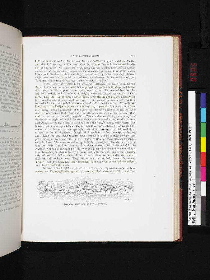 |
| ボスタン・トグラクの左岸。LEFT BANK OF BOSTAN-TOGHRAK. |
A TRIP TO ANDERE-TEREM. 379
in like manner there exists a belt of desert between the Bostan-toghrak and the Möldscha, and that it is only for a little way below the astin-jol that it is interrupted by the
belt of vegetation. Of course the rivers here, like the Chotan-darja and the Kerijadarja, are accompanied by vegetation as far as they penetrate towards the north. It is also likely that, as they near their terminations, they incline, just as the Kerijadarja does, towards the north or north-east; for of course the entire basin of East Turkestan slopes towards the east, that is towards Lop-nor.
In the locality of Kürtsch-aghil, where we encamped, the river, or rather the sheet of ice, was 141.5 m. wide, but appeared to contract both above and below that point; the low strip of »shore» was 126 m. across. The scarped bank on the left was vertical, and 5 to 6 m. in height, while that on the right was 7 to 8 m. high. Thus the total breadth between banks amounted to 267 m., and evidently the bed was formerly at times filled with water. The part of the bed which was then covered with ice is no doubt in due season filled with an active current. No doubt too it makes, as the Kerija-darja does, a more imposing appearance in winter than in summer, owing to the development of the ice-sheet. Hewing a hole in the ice, we found that it was 0.46 m. thick, and rested directly upon the mud at the bottom. It is said to remain 31/2 months altogether. When it thaws in spring, a mus-suji, or »ice-flood», is originated, which for some days carries a considerable quantity of water past Andere-terem and becomes lost in the sand half a day's journey farther north; but beyond that it never penetrates. . Poplars and tamarisks continue as far as Andereterem, but no farther. At the spot where the river encounters the high sand, there is said to be no vegetation, though this is doubtful. After these spring freshets have passed the only water that the river contains is such as is yielded by the perpetual springs. In summer the ak-su is stated to flow for three months, beginning early in June. The same conditions apply in the case of the Tollan-chodscha, except that this river is said to penetrate three day's journey north of the astin-jol. At Andere-terem the configuration of the river-bed is stated to be pretty much what it is at Kürtsch-aghil, that is to say a broad bed, with sharp-cut banks, and a narrow strip of low soil below them. It is on one of these low strips that the deserted fields are said to have been. They were watered by tiny irrigation canals, coming directly from the river, and being inundated during a flood of unusual dimensions, were buried under the mud.
Between Kürtsch-aghil and Andere-terem there are only two localities that bear names, — Kara-ötschke-ölturghan, or where the Black Goat was Killed, and Tar-
|
Copyright (C) 2003-2019
National Institute of Informatics(国立情報学研究所)
and
The Toyo Bunko(東洋文庫). All Rights Reserved.
本ウェブサイトに掲載するデジタル文化資源の無断転載は固くお断りいたします。