国立情報学研究所 - ディジタル・シルクロード・プロジェクト
| |||||||||
|
| Scientific Results of a Journey in Central Asia, 1899-1902 : vol.1 | |
| 1899-1902年の中央アジア旅行における科学的成果 : vol.1 |
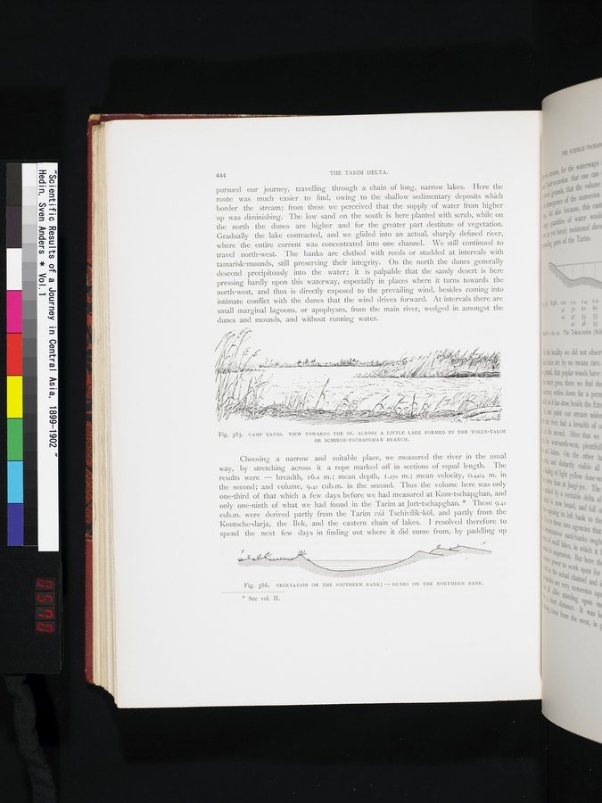 |
| 第28キャンプ。トクス・タリム川またはシルゲ・チャプガンの支流によってできた小さな湖の向こう側、南東方向の景観。CAMP XXVIII. VIEW TOWARDS THE SE. ACROSS A LITTLE FORMED BY THE TOKUS-TARIM OR SCHIRGE-TSCHAPGHAN BRANCH. | |
| 南岸の植生;北岸の砂丘。VEGETATION ON THE SOUTHERN BANK; - DUNES ON THE NORTHERN BANK. |
444 THE TARIM DELTA.
pursued our journey, travelling through a chain of long, narrow lakes. Here the route was much easier to find, owing to the shallow sedimentary deposits which border the stream; from these we perceived that the supply of water from higher up was diminishing. The low sand on the south is here planted with scrub, while on the north the dunes are higher and for the greater part destitute of vegetation. Gradually the lake contracted, and we glided into an actual, sharply defined river, where the entire current was concentrated into one channel. We still continued to travel north-west. The banks are clothed with reeds or studded at intervals with tamarisk-mounds, still preserving their integrity. On the north the dunes generally descend precipitously into the water ; it is palpable that the sandy desert is here pressing hardly upon this waterway, especially in places where it turns towards the north-west, and thus is directly exposed to the prevailing wind, besides coming into intimate conflict with the dunes that the wind drives forward. At intervals there are small marginal lagoons, or apophyses, from the main river, wedged in amongst the dunes and mounds, and without running water.
Fig. 385. CAMP XXVIII. VIEW TOWARDS THE SE. ACROSS A LITTLE LAKE FORMED BY THE TOKUS-TARIM OR SCHIRGE-TSCHAPGHAN BRANCH.
Choosing a narrow and suitable place, we measured the river in the usual way, by stretching across it a rope marked off in sections of equal length. The results were — breadth, 16.6 m.; mean depth, 1.270 m.; mean velocity, 0.4464 m. in the second; and volume, 9.41 cub.m. in the second. Thus the volume here was only one-third of that which a few days before we had measured at Kum-tschapghan, and only one-ninth of what we had found in the Tarim at Jurt-tschapghan. * These 9.41 cub.m. were derived partly from the Tarim viîz Tschivilik-köl, and partly from the Kontsche-darja, the Ilek, and the eastern chain of lakes. I resolved therefore to spend the next few days in finding out where it did come from, by paddling up
Fig. 386. VEGETATION ON THE SOUTHERN BANK; - DUNES ON THE NORTHERN BANK.
* See vol. II.
i ~ ~~'. ~ ~~1~R~?~
~~.
' ~
|
Copyright (C) 2003-2019
National Institute of Informatics(国立情報学研究所)
and
The Toyo Bunko(東洋文庫). All Rights Reserved.
本ウェブサイトに掲載するデジタル文化資源の無断転載は固くお断りいたします。