国立情報学研究所 - ディジタル・シルクロード・プロジェクト
| |||||||||
|
| Scientific Results of a Journey in Central Asia, 1899-1902 : vol.1 | |
| 1899-1902年の中央アジア旅行における科学的成果 : vol.1 |
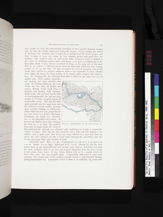 |
| 11月22日のキャンプ周辺の環境。SURROUNDINGS OF THE CAMP OF NOV 22. |
THE JUMALAK-DARJA TO TOKUS-KUM.
I23
the reed-beds become smaller, growing r- oar.;ru M.~~;.°!; •, "t°;;rya ': , '-.. ''
i rW,
a 4dipn` \dlul ipp " %/gyp Ul//r1 '%,
upon so-called lajdang, or sedimentary
matter which the new arm (janKi-day a)
has laid down in a former lake-basin.
/.?'d11io t11~1t fblh,4,~n
Hereabouts the banks are extremely low, or else altogether non-existent. At Jar-kum the highest dunes that overhang
the river are 12 m. high. The northern Fig. ï I r. SURROUNDINGS OF THE CAMP OF NOV. 22.
Kara-akin at length rejoins the Tarim at
Kara-akin-kojuschi through two channels, and contributes to it quite a respectable volume of water. After this the river broadens out a little, but still continues very shallow, and is quite swift. Just above our camp, situated in a spot that bears no name, the river widened out into a broad basin amongst the sand-dunes, and was for the most part filled with deposits of sand.
November 23rd. Rise, 0.15 cm. Transparency, 4.0 cm. at 7 a. m. and 5.1 at I p. m. Banks, 2.60 m. high; high-water level, 1.50 m. During the day the river swung away to the east-north-east, and became more sinuous. Just below our camp the sand suddenly came to an end, and receded altogether from the river, except in two places lower down. It was, further, hidden from us by a poplar wood, for these trees were now very plentiful again. Consequently drift-wood is once more common. The second arm of the southern parallel stream is called Kamber Schangjaning jokarki-tötter-suji. Immediately below it there is an artificially dug canal, then
|
Copyright (C) 2003-2019
National Institute of Informatics(国立情報学研究所)
and
The Toyo Bunko(東洋文庫). All Rights Reserved.
本ウェブサイトに掲載するデジタル文化資源の無断転載は固くお断りいたします。